Distance to Red Cross, North Carolina

Calculating Your Route
Just a moment while we process your request...
Location Information
-
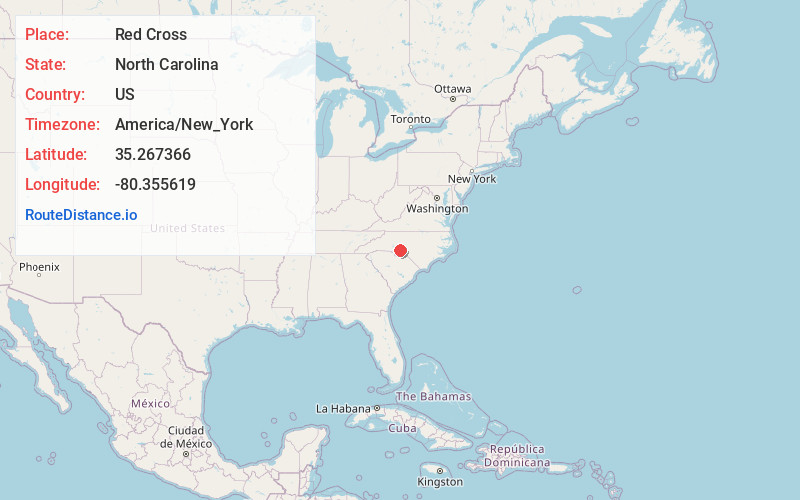
Full AddressRed Cross, NC
-
Coordinates35.2673659, -80.3556188
-
LocationRed Cross , North Carolina , US
-
TimezoneAmerica/New_York
-
Current Local Time11:20:23 PM America/New_YorkThursday, June 19, 2025
-
Page Views0
About Red Cross
Red Cross is a town in Stanly County, North Carolina, United States. The population was 742 as of the 2010 census.
Nearby Places
Found 10 places within 50 miles

Oakboro
3.2 mi
5.1 km
Oakboro, NC
Get directions

Locust
4.0 mi
6.4 km
Locust, NC
Get directions

Stanfield
4.7 mi
7.6 km
Stanfield, NC 28163
Get directions

Midland
8.6 mi
13.8 km
Midland, NC
Get directions

Mt Pleasant
10.2 mi
16.4 km
Mt Pleasant, NC
Get directions

Albemarle
10.5 mi
16.9 km
Albemarle, NC
Get directions

Norwood
13.8 mi
22.2 km
Norwood, NC 28128
Get directions
Richfield
15.1 mi
24.3 km
Richfield, NC 28137
Get directions

Unionville
15.2 mi
24.5 km
Unionville, NC 28110
Get directions

Concord
16.1 mi
25.9 km
Concord, NC
Get directions
Location Links
Local Weather
Weather Information
Coming soon!
Location Map
Static map view of Red Cross, North Carolina
Browse Places by Distance
Places within specific distances from Red Cross
Short Distances
Long Distances
Click any distance to see all places within that range from Red Cross. Distances shown in miles (1 mile ≈ 1.61 kilometers).