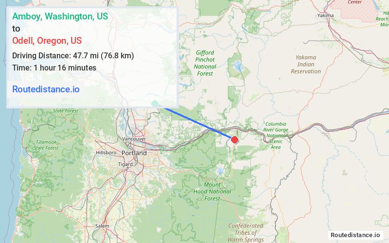
Distance from Amboy, Washington to Odell, Oregon
The driving distance from Amboy, Washington to Odell, Oregon is 93.4 mi (150.3 km)
The straight-line (air) distance is approximately 29.7 mi (47.7 km)
Estimated travel time by road is 1 hour 44 minutes
We found 2 routes between Amboy and Odell.
Available Routes
Route Directions
Get on I-205 S in Vancouver from WA-503 S
Take I-84 E to Button Bridge Rd/Mt Hood Hwy in Hood River. Take exit 64 from I-84 E
Take OR-35 S to your destination in Odell
Route Directions
Continue to WA-503 S
Take WA-14 E, I-84 E and OR-35 S to Davis Dr in Hood River County
Continue on Davis Dr to your destination in Odell
Journey Details
Traveling from Amboy, Washington to Odell, Oregon covers 90.3 miles (145 km) in a east direction. This mixed highways and local roads, substantial route typically takes 1 hour 52 minutes under normal conditions.
Drivers have 2 route options between these locations (90-93 miles / 145-150 km). The primary route shown here saves no time compared to alternatives.
The route features toll sections. During night weekday travel, expect minimal traffic congestion with average speeds around 47 mph (76 km/h) .
Journey Waypoints
Amboy
Starting Point
Odell
Destination
Route Map Image