Distance from Baseline, Montana to Knox, Montana
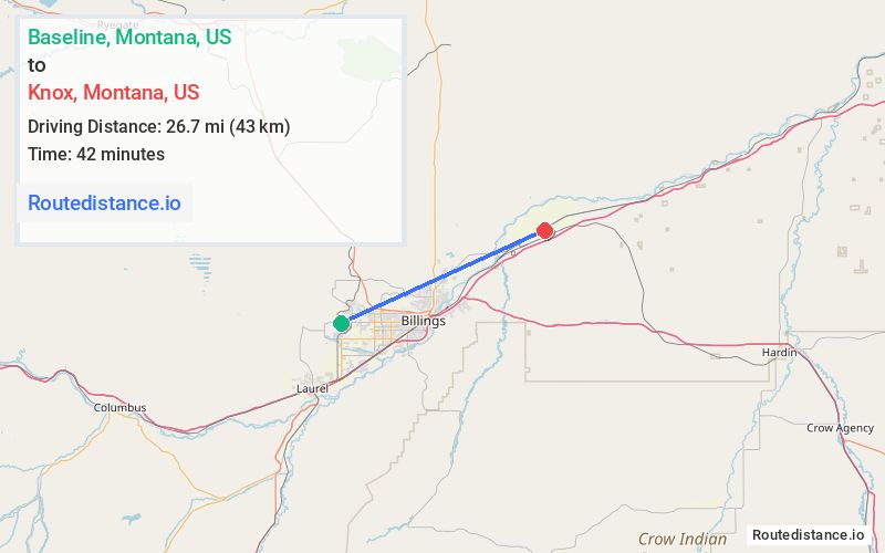
The driving distance from Baseline, Montana to Knox, Montana is 33.1 mi (53.2 km)
The straight-line (air) distance is approximately 16.6 mi (26.7 km)
Estimated travel time by road is 41 minutes
We found 3 routes between Baseline and Knox.
Available Routes
Route Directions
Follow MT-302 to King Ave W in Billings
Get on I-90 E
Follow I-90 E and I-94 E to Pryor Creek Rd. Take exit 6 from I-94 E
Follow Northern Ave to Hwy 312
Drive to Railroad Hwy
Route Directions
Get on I-90 E in Billings from 64th St W and King Ave W
Follow I-90 E and I-94 E to Pryor Creek Rd. Take exit 6 from I-94 E
Follow Northern Ave to Hwy 312
Drive to Railroad Hwy
Route Directions
Take Zimmerman Trail to MT-3
Follow E Airport Rd to US-87 N/Hwy 312
Follow Hwy 312 to S 12th Rd
Drive to Railroad Hwy
Journey Details
Traveling from Baseline, Montana to Knox, Montana covers 31.3 miles (50 km) in a east direction. This mixed highways and local roads, moderate route typically takes 42 minutes under normal conditions.
Drivers have 3 route options between these locations (31-33 miles / 50-53 km). The primary route shown here saves no time compared to alternatives.
Journey Waypoints
Baseline
Starting Point
Knox
Destination
Route Map Image