Distance to Huntley, Montana

Calculating Your Route
Just a moment while we process your request...
Location Information
-
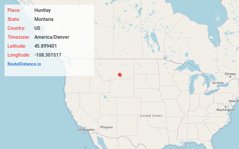
Full AddressHuntley, MT
-
Coordinates45.899401, -108.3015174
-
LocationHuntley , Montana , US
-
TimezoneAmerica/Denver
-
Current Local Time3:25:10 AM America/DenverWednesday, June 18, 2025
-
Page Views0
About Huntley
Huntley is a census-designated place in Yellowstone County, Montana, United States. The population was 411 at the 2000 census. Huntley lent its name to the Huntley Project, a federal irrigation project that began delivering water to the arid district in 1907.

Nearby Places
Found 10 places within 50 miles

Shepherd
3.6 mi
5.8 km
Shepherd, MT 59079
Get directions

Lockwood
7.8 mi
12.6 km
Lockwood, MT
Get directions

Worden
7.9 mi
12.7 km
Worden, MT
Get directions

Billings
12.7 mi
20.4 km
Billings, MT
Get directions

Laurel
27.7 mi
44.6 km
Laurel, MT 59044
Get directions

Pryor
34.3 mi
55.2 km
Pryor, MT
Get directions

Park City
35.0 mi
56.3 km
Park City, MT 59063
Get directions

Hardin
35.2 mi
56.6 km
Hardin, MT 59034
Get directions

Roundup
39.4 mi
63.4 km
Roundup, MT 59072
Get directions

Joliet
43.1 mi
69.4 km
Joliet, MT 59041
Get directions
Location Links
Local Weather
Weather Information
Coming soon!
Location Map
Static map view of Huntley, Montana
Browse Places by Distance
Places within specific distances from Huntley
Short Distances
Long Distances
Click any distance to see all places within that range from Huntley. Distances shown in miles (1 mile ≈ 1.61 kilometers).