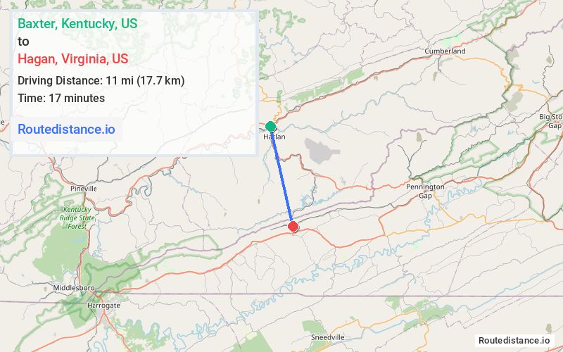
Distance from Baxter, Kentucky to Hagan, Virginia
The driving distance from Baxter, Kentucky to Hagan, Virginia is 66.1 mi (106.4 km)
The straight-line (air) distance is approximately 6.8 mi (11 km)
Estimated travel time by road is 1 hour 14 minutes
We found 2 routes between Baxter and Hagan.
Available Routes
Route Directions
Continue on US-119 S. Take US-58 E to State Rte 621 in Lee County
Continue on State Rte 621. Drive to Hagan Rd
Route Directions
Follow US-421 S to N Kentucky St/N Main St in Pennington Gap
Follow US-58 ALT W to Main St in Jonesville
Follow US-58 W/Wilderness Rd to State Rte 621
Continue on State Rte 621. Drive to Hagan Rd
Journey Details
Traveling from Baxter, Kentucky to Hagan, Virginia covers 45.2 miles (73 km) in a south direction. This mixed highways and local roads, moderate route typically takes 59 minutes under normal conditions.
Drivers have 2 route options between these locations (45-66 miles / 73-106 km). The primary route shown here saves 15 minutes compared to alternatives.
The route features scenic views. During night weekday travel, expect minimal traffic congestion with average speeds around 49 mph (79 km/h) .
Journey Waypoints
Baxter
Starting Point
Hagan
Destination
Route Map Image