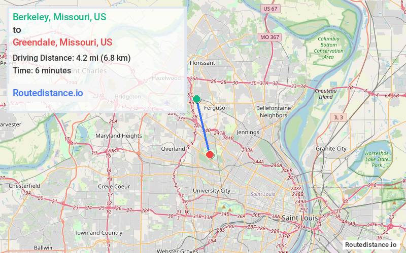
Distance from Berkeley, Missouri to Greendale, Missouri
The driving distance from Berkeley, Missouri to Greendale, Missouri is 5.9 mi (9.4 km)
The straight-line (air) distance is approximately 2.6 mi (4.2 km)
Estimated travel time by road is 10 minutes
We found 3 routes between Berkeley and Greendale.
Available Routes
Route Directions
Get on I-170 S
Continue on I-170 S to Midland Township
Continue on Normandy Ave. Drive to Marillac Dr in Greendale
Route Directions
Get on I-170 S
Follow I-170 S and MO-115 E/Natural Bridge Rd to Arlmont Dr in Bel-Nor
Continue on Arlmont Dr. Take Normandy Ave to Marillac Dr in Greendale
Route Directions
Journey Details
Traveling from Berkeley, Missouri to Greendale, Missouri covers 5.1 miles (8 km) in a south direction. This secondary roads, short route typically takes 12 minutes under normal conditions.
Drivers have 3 route options between these locations (5-6 miles / 8-9 km). The primary route shown here saves no time compared to alternatives.
The route features scenic views. During midday weekend travel, expect typical weekend traffic patterns with average speeds around 26 mph (42 km/h) .
Journey Waypoints
Berkeley
Starting Point
Greendale
Destination
Route Map Image