Distance to Bel-Ridge, Missouri

Calculating Your Route
Just a moment while we process your request...
Location Information
-
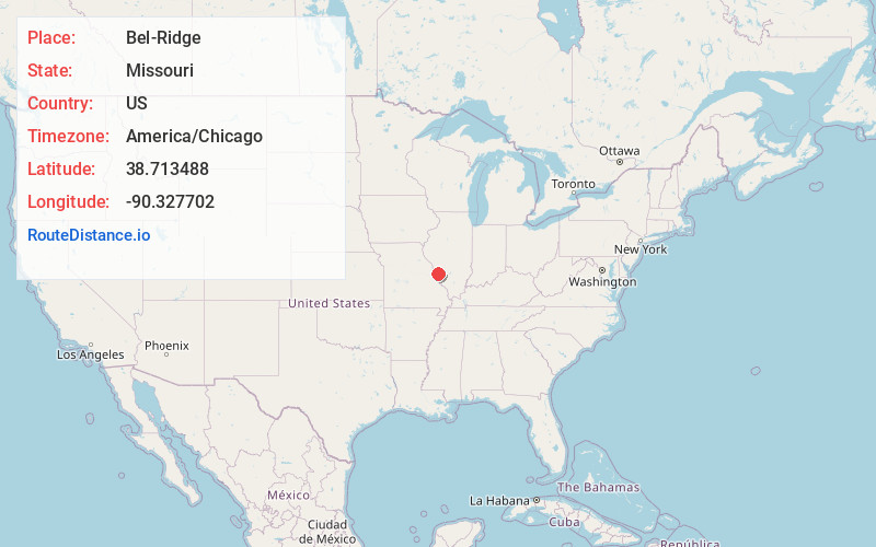
Full AddressBel-Ridge, MO
-
Coordinates38.7134882, -90.3277015
-
LocationBel-Ridge , Missouri , US
-
TimezoneAmerica/Chicago
-
Current Local Time1:43:56 PM America/ChicagoFriday, June 6, 2025
-
Page Views0
About Bel-Ridge
Bel-Ridge is a suburban city in northern St. Louis County, Missouri, United States. The population was 2,737 at the 2010 census. Bel-Ridge is part of the Normandy Schools Collaborative. Bel-Ridge became a city in 2015 by a vote of the voters.
Nearby Places
Found 10 places within 50 miles

St John
0.9 mi
1.4 km
St John, MO
Get directions

Normandy
1.7 mi
2.7 km
Normandy, MO
Get directions

Woodson Terrace
1.9 mi
3.1 km
Woodson Terrace, MO
Get directions

Overland
2.1 mi
3.4 km
Overland, MO
Get directions
Breckenridge Hills
2.1 mi
3.4 km
Breckenridge Hills, MO
Get directions

Ferguson
2.4 mi
3.9 km
Ferguson, MO
Get directions

Northwoods
2.5 mi
4.0 km
Northwoods, MO
Get directions

Berkeley
2.8 mi
4.5 km
Berkeley, MO
Get directions

Pine Lawn
3.1 mi
5.0 km
Pine Lawn, MO
Get directions
Dellwood
3.4 mi
5.5 km
Dellwood, MO
Get directions
Location Links
Local Weather
Weather Information
Coming soon!
Location Map
Static map view of Bel-Ridge, Missouri
Browse Places by Distance
Places within specific distances from Bel-Ridge
Short Distances
Long Distances
Click any distance to see all places within that range from Bel-Ridge. Distances shown in miles (1 mile ≈ 1.61 kilometers).