Distance to St John, Missouri

Calculating Your Route
Just a moment while we process your request...
Location Information
-
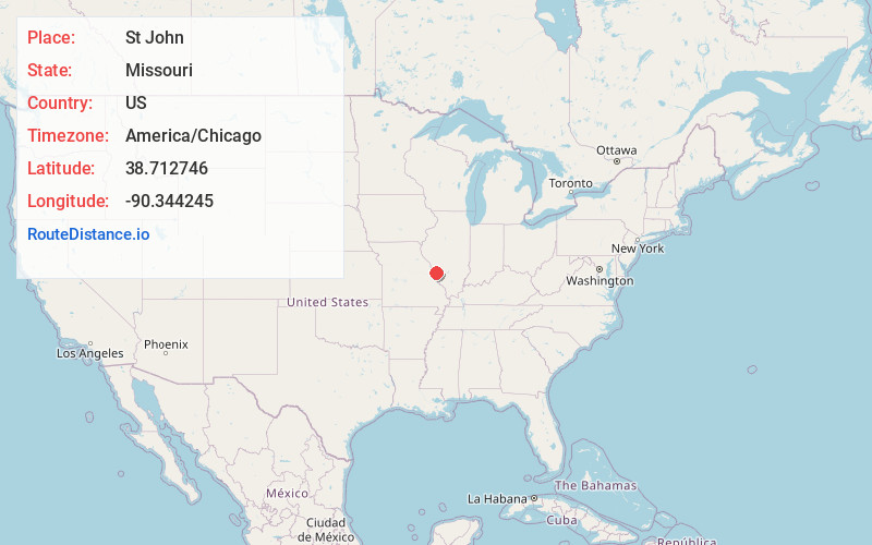
Full AddressSt John, MO
-
Coordinates38.7127464, -90.3442449
-
LocationSt John , Missouri , US
-
TimezoneAmerica/Chicago
-
Current Local Time4:51:41 AM America/ChicagoThursday, June 12, 2025
-
Page Views0
About St John
St. John or Saint John is a city in St. Louis County, Missouri, United States, with its commercial district centered along St. Charles Rock Road. It is a few miles southeast of Lambert-St. Louis International Airport.
As of the 2020 census, the city population was 6,643.
Nearby Places
Found 10 places within 50 miles

Overland
1.3 mi
2.1 km
Overland, MO
Get directions

St Ann
2.7 mi
4.3 km
St Ann, MO
Get directions

Berkeley
3.0 mi
4.8 km
Berkeley, MO
Get directions

Ferguson
3.0 mi
4.8 km
Ferguson, MO
Get directions

Olivette
3.7 mi
6.0 km
Olivette, MO 63132
Get directions

Hazelwood
4.3 mi
6.9 km
Hazelwood, MO
Get directions

Jennings
4.5 mi
7.2 km
Jennings, MO
Get directions

Maryland Heights
4.6 mi
7.4 km
Maryland Heights, MO
Get directions
Ladue
4.8 mi
7.7 km
Ladue, MO
Get directions

Clayton
5.0 mi
8.0 km
Clayton, MO
Get directions
Location Links
Local Weather
Weather Information
Coming soon!
Location Map
Static map view of St John, Missouri
Browse Places by Distance
Places within specific distances from St John
Short Distances
Long Distances
Click any distance to see all places within that range from St John. Distances shown in miles (1 mile ≈ 1.61 kilometers).