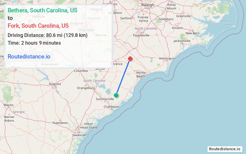
Distance from Bethera, South Carolina to Fork, South Carolina
The driving distance from Bethera, South Carolina to Fork, South Carolina is 104.4 mi (168.1 km)
The straight-line (air) distance is approximately 50.1 mi (80.7 km)
Estimated travel time by road is 2 hours 1 minute
We found 3 routes between Bethera and Fork.
Available Routes
Route Directions
Follow Bethera Rd/State Rd S-8-48 to SC-41 N
Follow SC-41 N to Old River Rd/State Rd S-21-57 in Florence County
Follow Old River Rd/State Rd S-21-57 and Paper Mill Rd/State Rd S-21-24 to US-301 N/US-76 E
Follow US-76 E to Metal St in Marion
Drive to SC-41 ALT N in Fork
Route Directions
Take SC-41 N, US-17 ALT N, US-701 Hwy N, Pee Dee Rd S and SC-41 N to SC-41 ALT S in Fork
Route Directions
Follow Bethera Rd/State Rd S-8-48 to SC-41 N
Follow SC-41 N to Hwy 9/State Rd S-34-9 in Gresham
Take US-501 N to SC-41 ALT N. Take the SC-41Alt exit from US-501 N
Journey Details
Traveling from Bethera, South Carolina to Fork, South Carolina covers 90.5 miles (146 km) in a northeast direction. This mixed highways and local roads, substantial route typically takes 1 hour 42 minutes under normal conditions.
Drivers have 3 route options between these locations (91-109 miles / 146-175 km). The primary route shown here saves 23 minutes compared to alternatives.
Journey Waypoints
Bethera
Starting Point
Fork
Destination
Route Map Image