Distance to Johnsonville, South Carolina

Calculating Your Route
Just a moment while we process your request...
Location Information
-
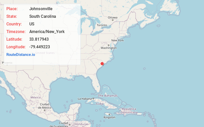
Full AddressJohnsonville, SC 29555
-
Coordinates33.8179432, -79.4492228
-
LocationJohnsonville , South Carolina , US
-
TimezoneAmerica/New_York
-
Current Local Time3:39:50 PM America/New_YorkTuesday, June 17, 2025
-
Website
-
Page Views0
About Johnsonville
Johnsonville is a city in Florence County, South Carolina, United States. The population was 1,480 at the 2010 census. It is part of the Florence Metropolitan Statistical Area.


Nearby Places
Found 10 places within 50 miles

Lake City
17.9 mi
28.8 km
Lake City, SC 29560
Get directions

Conway
23.1 mi
37.2 km
Conway, SC
Get directions

Homewood
23.1 mi
37.2 km
Homewood, SC 29526
Get directions

Kingstree
24.3 mi
39.1 km
Kingstree, SC 29556
Get directions
Red Hill
24.7 mi
39.8 km
Red Hill, SC
Get directions

Marion
25.0 mi
40.2 km
Marion, SC
Get directions

Andrews
26.1 mi
42.0 km
Andrews, SC 29510
Get directions

Socastee
27.5 mi
44.3 km
Socastee, SC
Get directions
Forestbrook
29.0 mi
46.7 km
Forestbrook, SC
Get directions

Mullins
29.0 mi
46.7 km
Mullins, SC 29574
Get directions
Location Links
Local Weather
Weather Information
Coming soon!
Location Map
Static map view of Johnsonville, South Carolina
Browse Places by Distance
Places within specific distances from Johnsonville
Short Distances
Long Distances
Click any distance to see all places within that range from Johnsonville. Distances shown in miles (1 mile ≈ 1.61 kilometers).