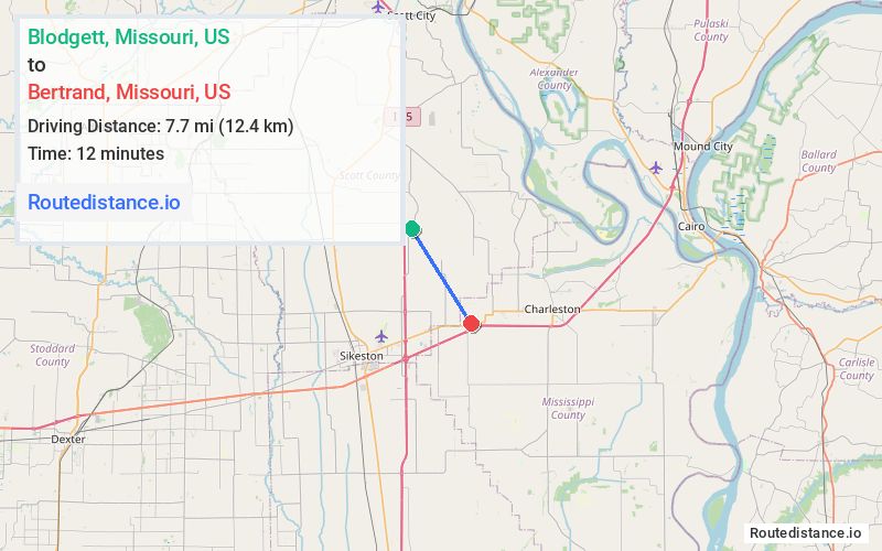
Distance from Blodgett, Missouri to Bertrand, Missouri
The driving distance from Blodgett, Missouri to Bertrand, Missouri is 12.1 mi (19.4 km)
The straight-line (air) distance is approximately 4.8 mi (7.7 km)
Estimated travel time by road is 16 minutes
We found 3 routes between Blodgett and Bertrand.
Available Routes
Route Directions
Route Directions
Route Directions
Journey Details
Traveling from Blodgett, Missouri to Bertrand, Missouri covers 11.1 miles (18 km) in a southeast direction. This mixed highways and local roads, short route typically takes 14 minutes under normal conditions.
Drivers have 3 route options between these locations (11-13 miles / 18-21 km). The primary route shown here saves 3 minutes compared to alternatives.
Journey Waypoints
Blodgett
Starting Point
Bertrand
Destination
Route Map Image