Distance to Blodgett, Missouri

Calculating Your Route
Just a moment while we process your request...
Location Information
-
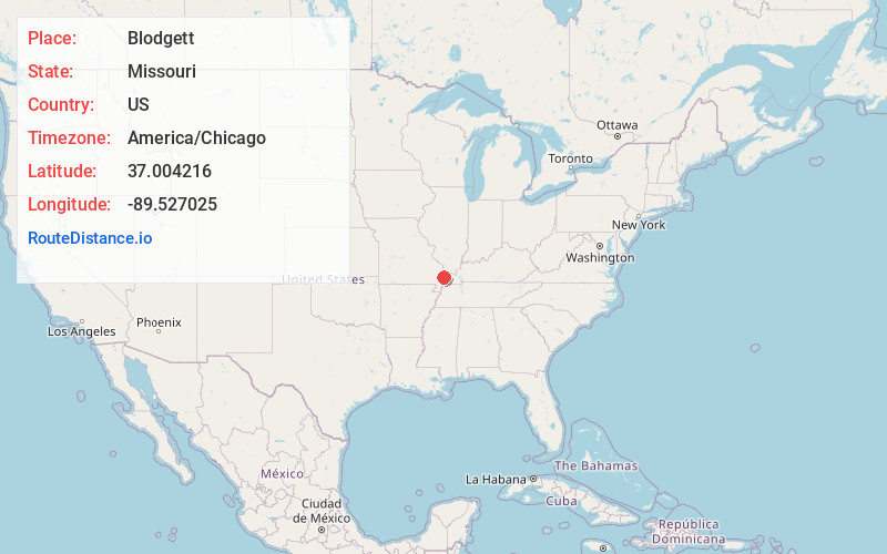
Full AddressBlodgett, MO 63801
-
Coordinates37.0042161, -89.5270246
-
LocationBlodgett , Missouri , US
-
TimezoneAmerica/Chicago
-
Current Local Time3:24:17 AM America/ChicagoFriday, June 20, 2025
-
Page Views0
About Blodgett
Blodgett is a village in Scott County, Missouri, United States. The population was 213 at the 2010 census.
Nearby Places
Found 10 places within 50 miles

Morley
5.3 mi
8.5 km
Morley, MO
Get directions

Benton
6.8 mi
10.9 km
Benton, MO 63736
Get directions

Bertrand
7.7 mi
12.4 km
Bertrand, MO 63823
Get directions

Miner
7.8 mi
12.6 km
Miner, MO 63801
Get directions

Vanduser
8.8 mi
14.2 km
Vanduser, MO 63784
Get directions

Oran
9.0 mi
14.5 km
Oran, MO 63771
Get directions

New Hamburg
9.2 mi
14.8 km
New Hamburg, MO
Get directions

Sikeston
9.4 mi
15.1 km
Sikeston, MO 63801
Get directions

Charleston
11.3 mi
18.2 km
Charleston, MO 63834
Get directions
Kelso
12.9 mi
20.8 km
Kelso, MO
Get directions
Location Links
Local Weather
Weather Information
Coming soon!
Location Map
Static map view of Blodgett, Missouri
Browse Places by Distance
Places within specific distances from Blodgett
Short Distances
Long Distances
Click any distance to see all places within that range from Blodgett. Distances shown in miles (1 mile ≈ 1.61 kilometers).