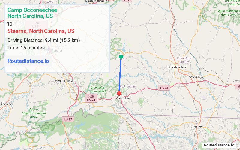
Distance from Camp Occoneechee, North Carolina to Stearns, North Carolina
The driving distance from Camp Occoneechee, North Carolina to Stearns, North Carolina is 20.8 mi (33.5 km)
The straight-line (air) distance is approximately 5.8 mi (9.4 km)
Estimated travel time by road is 36 minutes
We found 2 routes between Camp Occoneechee and Stearns.
Available Routes
Route Directions
Take Girl Scout Cp Rd to NC-9 S in Lake Lure
Continue on Houston Rd. Take White Oak Mountain Rd to Morning Ride Dr
Route Directions
Take Girl Scout Cp Rd to NC-9 S in Lake Lure
Continue on NC-108 W. Take Houston Rd and White Oak Mountain Rd to Morning Ride Dr
Journey Details
Traveling from Camp Occoneechee, North Carolina to Stearns, North Carolina covers 15.7 miles (25 km) in a south direction. This secondary roads, moderate route typically takes 29 minutes under normal conditions.
Drivers have 2 route options between these locations (16-21 miles / 25-33 km). The primary route shown here saves 8 minutes compared to alternatives.
The route features scenic views. During night weekday travel, expect minimal traffic congestion with average speeds around 35 mph (56 km/h) .
Journey Waypoints
Camp Occoneechee
Starting Point
Stearns
Destination
Route Map Image