Distance to Mill Spring, North Carolina

Calculating Your Route
Just a moment while we process your request...
Location Information
-
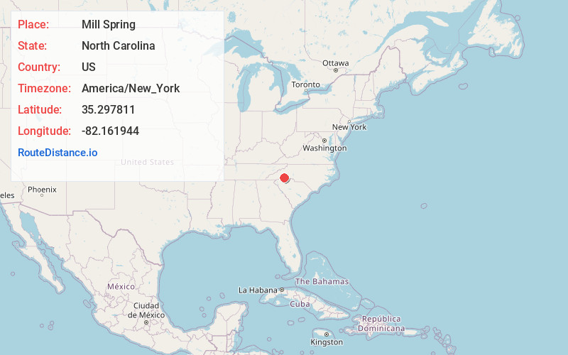
Full AddressMill Spring, NC 28756
-
Coordinates35.2978105, -82.1619441
-
LocationMill Spring , North Carolina , US
-
TimezoneAmerica/New_York
-
Current Local Time12:49:59 AM America/New_YorkThursday, June 12, 2025
-
Page Views0
About Mill Spring
Mill Spring is an unincorporated community in Polk County, North Carolina, United States. Mill Spring is located at the junction of North Carolina Highway 9 and North Carolina Highway 108 3.7 miles northeast of Columbus. Mill Spring has a post office with ZIP code 28756.

Nearby Places
Found 10 places within 50 miles

Stearns
3.5 mi
5.6 km
Stearns, NC 28722
Get directions

Columbus
3.7 mi
6.0 km
Columbus, NC
Get directions
Peniel
4.5 mi
7.2 km
Peniel, NC 28722
Get directions
Sunny View
5.5 mi
8.9 km
Sunny View, NC 28756
Get directions
Collinsville Creek
6.2 mi
10.0 km
Collinsville Creek, North Carolina
Get directions
Lynn
6.3 mi
10.1 km
Lynn, NC 28782
Get directions
Kross Keys
6.5 mi
10.5 km
Kross Keys, NC 28722
Get directions
Mt Valley
7.5 mi
12.1 km
Mt Valley, NC 28773
Get directions

Tryon
7.5 mi
12.1 km
Tryon, NC 28782
Get directions

Lake Lanier
8.4 mi
13.5 km
Lake Lanier, SC 29356
Get directions
Location Links
Local Weather
Weather Information
Coming soon!
Location Map
Static map view of Mill Spring, North Carolina
Browse Places by Distance
Places within specific distances from Mill Spring
Short Distances
Long Distances
Click any distance to see all places within that range from Mill Spring. Distances shown in miles (1 mile ≈ 1.61 kilometers).