Distance to Peniel, North Carolina

Calculating Your Route
Just a moment while we process your request...
Location Information
-
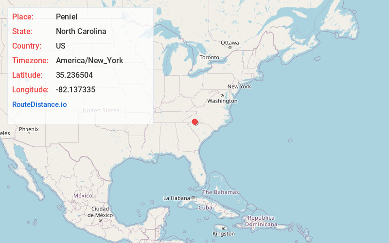
Full AddressPeniel, NC 28722
-
Coordinates35.2365039, -82.1373346
-
LocationNorth Carolina , US
-
TimezoneAmerica/New_York
-
Current Local Time6:31:47 AM America/New_YorkThursday, May 22, 2025
-
Page Views0
Nearby Places
Found 10 places within 50 miles

Columbus
3.6 mi
5.8 km
Columbus, NC
Get directions

Landrum
5.2 mi
8.4 km
Landrum, SC 29356
Get directions

Tryon
6.0 mi
9.7 km
Tryon, NC 28782
Get directions

Ingleside
6.6 mi
10.6 km
Ingleside, Campobello, SC 29356
Get directions
Little Africa
7.9 mi
12.7 km
Little Africa, SC 29322
Get directions

Campobello
8.4 mi
13.5 km
Campobello, SC
Get directions
Mt Valley
9.5 mi
15.3 km
Mt Valley, NC 28773
Get directions
Sunny View
9.9 mi
15.9 km
Sunny View, NC 28756
Get directions
Union
10.0 mi
16.1 km
Union, NC 28139
Get directions
Fingerville
10.2 mi
16.4 km
Fingerville, SC
Get directions
Location Links
Local Weather
Weather Information
Coming soon!
Location Map
Static map view of Peniel, North Carolina
Browse Places by Distance
Places within specific distances from Peniel
Short Distances
Long Distances
Click any distance to see all places within that range from Peniel. Distances shown in miles (1 mile ≈ 1.61 kilometers).