Distance to Landrum, South Carolina

Calculating Your Route
Just a moment while we process your request...
Location Information
-
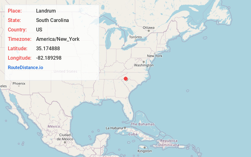
Full AddressLandrum, SC 29356
-
Coordinates35.1748883, -82.1892978
-
LocationLandrum , South Carolina , US
-
TimezoneAmerica/New_York
-
Current Local Time11:05:55 AM America/New_YorkTuesday, June 24, 2025
-
Website
-
Page Views0
About Landrum
Landrum is a city in Spartanburg County, South Carolina, United States. The population was 2,376 at the 2010 census.
Landrum was founded in 1880 and incorporated in 1912. It is located just west of Interstate 26 between Spartanburg and Asheville, North Carolina.


Nearby Places
Found 10 places within 50 miles

Inman
10.3 mi
16.6 km
Inman, SC 29349
Get directions

Boiling Springs
14.7 mi
23.7 km
Boiling Springs, SC 29316
Get directions

Dana
15.0 mi
24.1 km
Dana, NC
Get directions

Lyman
15.5 mi
24.9 km
Lyman, SC
Get directions

Flat Rock
15.7 mi
25.3 km
Flat Rock, NC
Get directions

Wellford
16.2 mi
26.1 km
Wellford, SC
Get directions

Valley Falls
16.4 mi
26.4 km
Valley Falls, SC
Get directions

Greer
16.5 mi
26.6 km
Greer, SC
Get directions

Duncan
16.6 mi
26.7 km
Duncan, SC
Get directions
Southern Shops
17.1 mi
27.5 km
Southern Shops, SC
Get directions
Location Links
Local Weather
Weather Information
Coming soon!
Location Map
Static map view of Landrum, South Carolina
Browse Places by Distance
Places within specific distances from Landrum
Short Distances
Long Distances
Click any distance to see all places within that range from Landrum. Distances shown in miles (1 mile ≈ 1.61 kilometers).