Distance to Fingerville, South Carolina

Calculating Your Route
Just a moment while we process your request...
Location Information
-
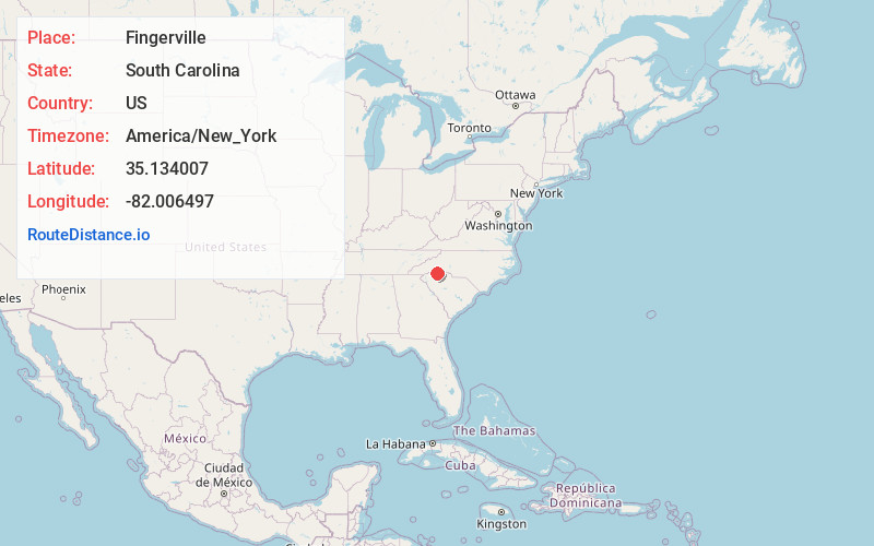
Full AddressFingerville, SC
-
Coordinates35.1340066, -82.0064966
-
LocationFingerville , South Carolina , US
-
TimezoneAmerica/New_York
-
Current Local Time9:04:31 AM America/New_YorkMonday, June 23, 2025
-
Page Views0
About Fingerville
Fingerville is a Census-designated place located in Spartanburg County in the U.S. State of South Carolina. According to the 2010 United States Census, the population was 134.
Nearby Places
Found 10 places within 50 miles

Boiling Springs
6.2 mi
10.0 km
Boiling Springs, SC 29316
Get directions

Inman
7.6 mi
12.2 km
Inman, SC 29349
Get directions

Campobello
8.2 mi
13.2 km
Campobello, SC
Get directions

Chesnee
8.3 mi
13.4 km
Chesnee, SC 29323
Get directions

Valley Falls
8.4 mi
13.5 km
Valley Falls, SC
Get directions

Inman Mills
8.5 mi
13.7 km
Inman Mills, SC 29349
Get directions

Mayo
9.0 mi
14.5 km
Mayo, SC
Get directions
Southern Shops
10.3 mi
16.6 km
Southern Shops, SC
Get directions

Landrum
10.7 mi
17.2 km
Landrum, SC 29356
Get directions
Whitney Heights
11.7 mi
18.8 km
Whitney Heights, SC 29303
Get directions
Location Links
Local Weather
Weather Information
Coming soon!
Location Map
Static map view of Fingerville, South Carolina
Browse Places by Distance
Places within specific distances from Fingerville
Short Distances
Long Distances
Click any distance to see all places within that range from Fingerville. Distances shown in miles (1 mile ≈ 1.61 kilometers).