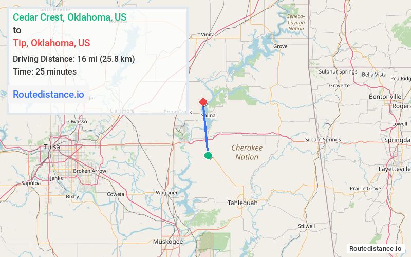
Distance from Cedar Crest, Oklahoma to Tip, Oklahoma
The driving distance from Cedar Crest, Oklahoma to Tip, Oklahoma is 24.1 mi (38.7 km)
The straight-line (air) distance is approximately 9.9 mi (16 km)
Estimated travel time by road is 32 minutes
We found 2 routes between Cedar Crest and Tip.
Available Routes
Route Directions
Follow E 620 Rd and S442 Rd to State Hwy 82 N
Continue on E 580 to US-412 ALT W
Continue on US-412 ALT W. Take S 437 to S 439
Continue on S 439. Drive to E 460 Rd
Route Directions
Follow E 620 Rd and S442 Rd to State Hwy 82 N
Continue on State Hwy 82 N to N 438
Follow N 438, E 480 and S 439 to E 460 Rd
Journey Details
Traveling from Cedar Crest, Oklahoma to Tip, Oklahoma covers 22.2 miles (36 km) in a north direction. This mixed highways and local roads, moderate route typically takes 29 minutes under normal conditions.
Drivers have 2 route options between these locations (22-24 miles / 36-39 km). The primary route shown here saves 4 minutes compared to alternatives.
The route features scenic views. During midday weekday travel, expect lighter midday traffic with average speeds around 46 mph (74 km/h) .
Journey Waypoints
Cedar Crest
Starting Point
Tip
Destination
Route Map Image