Distance to Iron Post, Oklahoma

Calculating Your Route
Just a moment while we process your request...
Location Information
-
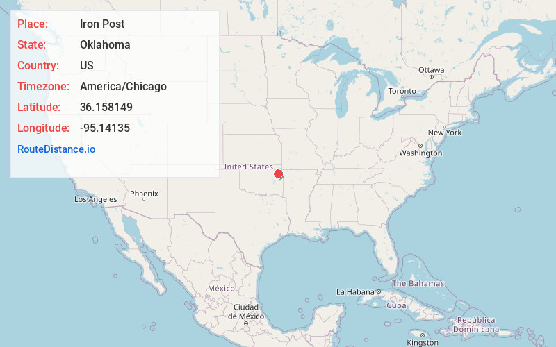
Full AddressIron Post, OK 74352
-
Coordinates36.1581493, -95.1413499
-
LocationIron Post , Oklahoma , US
-
TimezoneAmerica/Chicago
-
Current Local Time8:01:20 PM America/ChicagoFriday, June 20, 2025
-
Page Views0
About Iron Post
Iron Post is a census-designated place in Mayes County, Oklahoma, United States. The population was 117 at the 2000 census, but had declined to 92 in 2010, a loss of more than 21 percent.
Nearby Places
Found 10 places within 50 miles

Snake Creek
2.7 mi
4.3 km
Snake Creek, OK
Get directions

Cedar Crest
2.8 mi
4.5 km
Cedar Crest, OK 74352
Get directions
Ballou
2.9 mi
4.7 km
Ballou, OK 74352
Get directions

Locust Grove
3.3 mi
5.3 km
Locust Grove, OK 74352
Get directions

Peggs
5.8 mi
9.3 km
Peggs, OK
Get directions
Murphy
5.8 mi
9.3 km
Murphy, OK 74352
Get directions

Rose
7.6 mi
12.2 km
Rose, OK
Get directions

Pin Oak Acres
7.6 mi
12.2 km
Pin Oak Acres, OK 74337
Get directions
Pump Back
7.7 mi
12.4 km
Pump Back, OK 74365
Get directions
Sportsmen Acres
8.6 mi
13.8 km
Sportsmen Acres, OK 74361
Get directions
Location Links
Local Weather
Weather Information
Coming soon!
Location Map
Static map view of Iron Post, Oklahoma
Browse Places by Distance
Places within specific distances from Iron Post
Short Distances
Long Distances
Click any distance to see all places within that range from Iron Post. Distances shown in miles (1 mile ≈ 1.61 kilometers).