Distance to Rose, Oklahoma

Calculating Your Route
Just a moment while we process your request...
Location Information
-
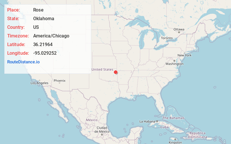
Full AddressRose, OK
-
Coordinates36.2196403, -95.0292522
-
LocationRose , Oklahoma , US
-
TimezoneAmerica/Chicago
-
Current Local Time1:13:59 PM America/ChicagoWednesday, June 18, 2025
-
Page Views0
About Rose
Rose is a small unincorporated rural community and census-designated place in southeastern Mayes County, Oklahoma, United States, on Scenic U.S. Highway 412. The community was said to have been named for Rowe's Prairie, which is nearby.

Nearby Places
Found 10 places within 50 miles

Snake Creek
4.9 mi
7.9 km
Snake Creek, OK
Get directions
Leach
6.0 mi
9.7 km
Leach, OK 74364
Get directions
Wickliffe
6.8 mi
10.9 km
Wickliffe, OK
Get directions
Kenwood
7.0 mi
11.3 km
Kenwood, OK 74365
Get directions

Locust Grove
7.8 mi
12.6 km
Locust Grove, OK 74352
Get directions

Salina
8.6 mi
13.8 km
Salina, OK
Get directions

Cedar Crest
9.9 mi
15.9 km
Cedar Crest, OK 74352
Get directions
Lowrey
10.3 mi
16.6 km
Lowrey, OK 74464
Get directions

Peggs
10.3 mi
16.6 km
Peggs, OK
Get directions
Oaks
10.4 mi
16.7 km
Oaks, OK
Get directions
Location Links
Local Weather
Weather Information
Coming soon!
Location Map
Static map view of Rose, Oklahoma
Browse Places by Distance
Places within specific distances from Rose
Short Distances
Long Distances
Click any distance to see all places within that range from Rose. Distances shown in miles (1 mile ≈ 1.61 kilometers).