Distance to Oaks, Oklahoma

Calculating Your Route
Just a moment while we process your request...
Location Information
-
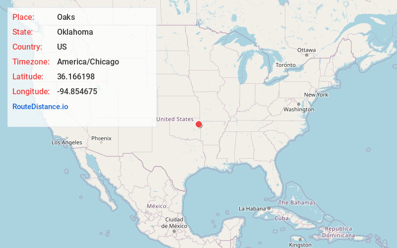
Full AddressOaks, OK
-
Coordinates36.166198, -94.8546745
-
LocationOaks , Oklahoma , US
-
TimezoneAmerica/Chicago
-
Current Local Time1:09:04 PM America/ChicagoTuesday, June 24, 2025
-
Page Views0
About Oaks
Oaks is a town in Cherokee and Delaware counties in the U.S. state of Oklahoma. The population was 288 at the 2010 census, a decrease from the figure of 412 recorded in 2000.
Nearby Places
Found 10 places within 50 miles

Twin Oaks
2.5 mi
4.0 km
Twin Oaks, OK
Get directions

Kansas
4.2 mi
6.8 km
Kansas, OK 74347
Get directions
Lowrey
6.0 mi
9.7 km
Lowrey, OK 74464
Get directions
Flint Creek
6.4 mi
10.3 km
Flint Creek, OK
Get directions

Chewey
6.5 mi
10.5 km
Chewey, OK
Get directions

Colcord
11.3 mi
18.2 km
Colcord, OK 74338
Get directions
Kenwood
12.6 mi
20.3 km
Kenwood, OK 74365
Get directions
Chance
13.3 mi
21.4 km
Chance, OK
Get directions
Snake Creek
13.6 mi
21.9 km
Snake Creek, OK
Get directions
Gideon
14.7 mi
23.7 km
Gideon, OK
Get directions
Location Links
Local Weather
Weather Information
Coming soon!
Location Map
Static map view of Oaks, Oklahoma
Browse Places by Distance
Places within specific distances from Oaks
Short Distances
Long Distances
Click any distance to see all places within that range from Oaks. Distances shown in miles (1 mile ≈ 1.61 kilometers).