Distance to Kansas, Oklahoma

Calculating Your Route
Just a moment while we process your request...
Location Information
-
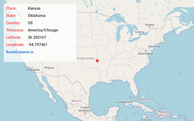
Full AddressKansas, OK 74347
-
Coordinates36.205167, -94.7974613
-
LocationKansas , Oklahoma , US
-
TimezoneAmerica/Chicago
-
Current Local Time4:47:36 AM America/ChicagoWednesday, June 4, 2025
-
Page Views0
About Kansas
Kansas is a town in Delaware County, Oklahoma, United States. The population was 754 in 2024.


Nearby Places
Found 10 places within 50 miles

Flint Creek
3.7 mi
6.0 km
Flint Creek, OK
Get directions

Colcord
7.1 mi
11.4 km
Colcord, OK 74338
Get directions

West Siloam Springs
12.6 mi
20.3 km
West Siloam Springs, OK
Get directions
Kenwood
12.9 mi
20.8 km
Kenwood, OK 74365
Get directions

Siloam Springs
14.3 mi
23.0 km
Siloam Springs, AR
Get directions

Jay
14.9 mi
24.0 km
Jay, OK 74346
Get directions

Gentry
17.9 mi
28.8 km
Gentry, AR
Get directions
Wickliffe
18.3 mi
29.5 km
Wickliffe, OK
Get directions
Grandview
18.9 mi
30.4 km
Grandview, OK 74464
Get directions

Peggs
18.9 mi
30.4 km
Peggs, OK
Get directions
Location Links
Local Weather
Weather Information
Coming soon!
Location Map
Static map view of Kansas, Oklahoma
Browse Places by Distance
Places within specific distances from Kansas
Short Distances
Long Distances
Click any distance to see all places within that range from Kansas. Distances shown in miles (1 mile ≈ 1.61 kilometers).