Distance to Jay, Oklahoma

Calculating Your Route
Just a moment while we process your request...
Location Information
-
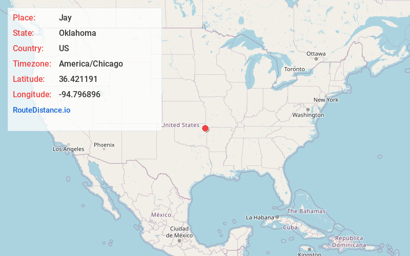
Full AddressJay, OK 74346
-
Coordinates36.4211914, -94.7968959
-
LocationJay , Oklahoma , US
-
TimezoneAmerica/Chicago
-
Current Local Time12:26:08 PM America/ChicagoSunday, May 18, 2025
-
Page Views0
About Jay
Jay is a city and county seat of Delaware County, Oklahoma, United States. The population was 2,448 at the 2010 census, compared to 2,482 at the 2000 census, a decrease of 1.4 percent.


Nearby Places
Found 10 places within 50 miles

Grove
12.0 mi
19.3 km
Grove, OK 74344
Get directions

Gentry
20.4 mi
32.8 km
Gentry, AR
Get directions

Siloam Springs
21.6 mi
34.8 km
Siloam Springs, AR
Get directions

Vinita
24.9 mi
40.1 km
Vinita, OK 74301
Get directions

Centerton
28.8 mi
46.3 km
Centerton, AR
Get directions

Pryor
30.0 mi
48.3 km
Pryor, OK 74361
Get directions

Bella Vista
30.8 mi
49.6 km
Bella Vista, AR
Get directions

Miami
31.6 mi
50.9 km
Miami, OK 74354
Get directions

Bentonville
32.8 mi
52.8 km
Bentonville, AR
Get directions

Cave Springs
33.2 mi
53.4 km
Cave Springs, AR
Get directions
Location Links
Local Weather
Weather Information
Coming soon!
Location Map
Static map view of Jay, Oklahoma
Browse Places by Distance
Places within specific distances from Jay
Short Distances
Long Distances
Click any distance to see all places within that range from Jay. Distances shown in miles (1 mile ≈ 1.61 kilometers).