Distance to Flint Creek, Oklahoma

Calculating Your Route
Just a moment while we process your request...
Location Information
-
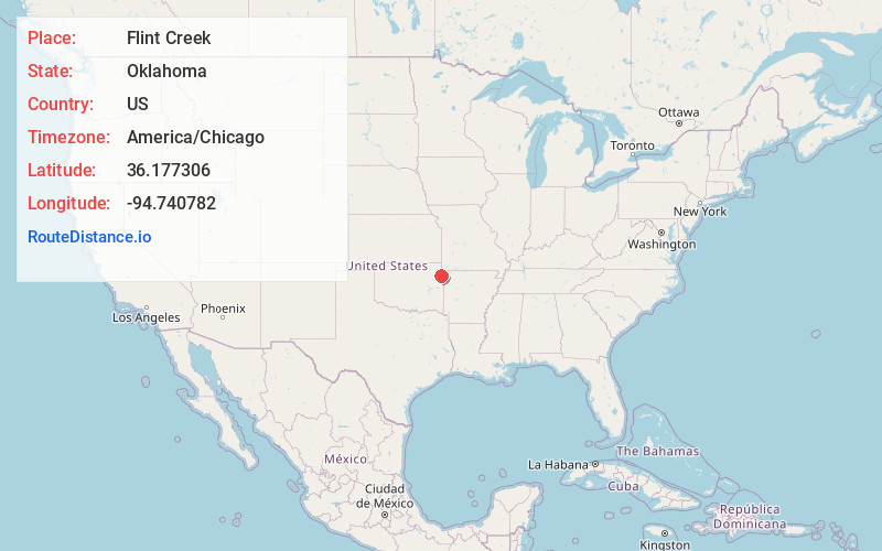
Full AddressFlint Creek, OK
-
Coordinates36.1773064, -94.7407816
-
LocationFlint Creek , Oklahoma , US
-
TimezoneAmerica/Chicago
-
Current Local Time4:08:16 PM America/ChicagoWednesday, June 18, 2025
-
Page Views0
About Flint Creek
Flint Creek is an unincorporated area and census-designated place in Delaware County, Oklahoma, United States. The population was 732 at the 2010 census, up from 580 in 2000.
Nearby Places
Found 10 places within 50 miles

West Siloam Springs
9.3 mi
15.0 km
West Siloam Springs, OK
Get directions

Siloam Springs
11.1 mi
17.9 km
Siloam Springs, AR
Get directions

Gentry
15.6 mi
25.1 km
Gentry, AR
Get directions

Westville
16.0 mi
25.7 km
Westville, OK
Get directions

Kenwood
16.6 mi
26.7 km
Kenwood, OK 74365
Get directions

Jay
17.1 mi
27.5 km
Jay, OK 74346
Get directions

Decatur
19.1 mi
30.7 km
Decatur, AR 72722
Get directions
Grandview
19.3 mi
31.1 km
Grandview, OK 74464
Get directions

Briggs
19.9 mi
32.0 km
Briggs, OK 74464
Get directions

Tahlequah
22.2 mi
35.7 km
Tahlequah, OK 74464
Get directions
Location Links
Local Weather
Weather Information
Coming soon!
Location Map
Static map view of Flint Creek, Oklahoma
Browse Places by Distance
Places within specific distances from Flint Creek
Short Distances
Long Distances
Click any distance to see all places within that range from Flint Creek. Distances shown in miles (1 mile ≈ 1.61 kilometers).