Distance to Tahlequah, Oklahoma

Calculating Your Route
Just a moment while we process your request...
Location Information
-
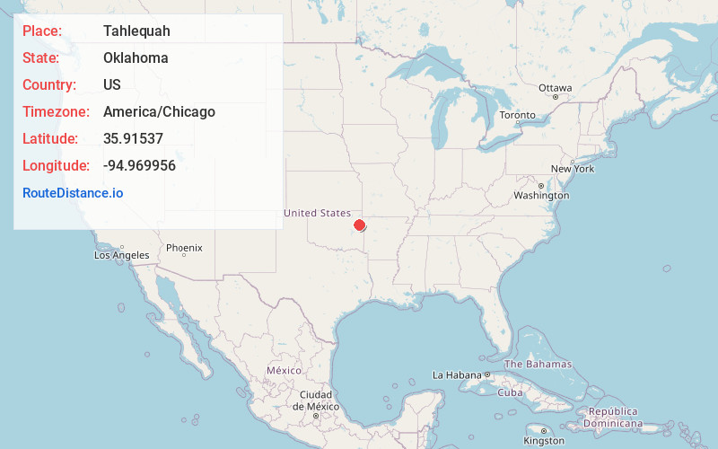
Full AddressTahlequah, OK 74464
-
Coordinates35.91537, -94.969956
-
LocationTahlequah , Oklahoma , US
-
TimezoneAmerica/Chicago
-
Current Local Time12:47:27 PM America/ChicagoTuesday, July 1, 2025
-
Page Views0
About Tahlequah
Tahlequah is a city in Cherokee County, Oklahoma located at the foothills of the Ozark Mountains. It is part of the Green Country region of Oklahoma and was established as a capital of the 19th-century ...


Nearby Places
Found 9 places within 50 miles

Muskogee
25.2 mi
40.6 km
Muskogee, OK
Get directions

Siloam Springs
30.4 mi
48.9 km
Siloam Springs, AR
Get directions

Claremore
45.3 mi
72.9 km
Claremore, OK
Get directions

Fayetteville
46.5 mi
74.8 km
Fayetteville, AR
Get directions

Van Buren
46.7 mi
75.2 km
Van Buren, AR 72956
Get directions

Broken Arrow
47.3 mi
76.1 km
Broken Arrow, OK
Get directions

Fort Smith
47.9 mi
77.1 km
Fort Smith, AR
Get directions

Centerton
49.0 mi
78.9 km
Centerton, AR
Get directions

Springdale
49.8 mi
80.1 km
Springdale, AR
Get directions
Location Links
Local Weather
Weather Information
Coming soon!
Location Map
Static map view of Tahlequah, Oklahoma
Browse Places by Distance
Places within specific distances from Tahlequah
Short Distances
Long Distances
Click any distance to see all places within that range from Tahlequah. Distances shown in miles (1 mile ≈ 1.61 kilometers).