Distance from Cedar Run, Michigan to Rosiere, Wisconsin
The driving distance from Cedar Run, Michigan to Rosiere, Wisconsin is 405.6 mi (652.7 km)
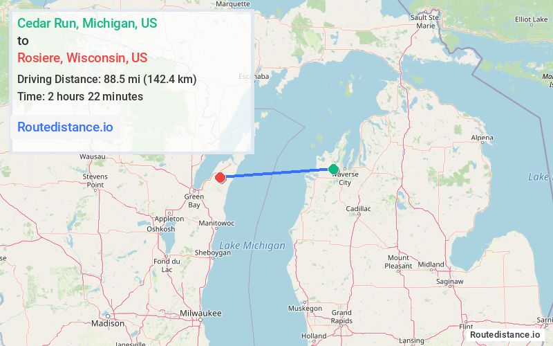
The straight-line (air) distance is approximately 55 mi (88.5 km)
Estimated travel time by road is 6 hours 53 minutes
This route includes Toll roads along the way.
We found 3 routes between Cedar Run and Rosiere.
Available Routes
Route Directions
Continue to Traverse City
Take I-75 N and US-2 W to M-35 S/S Lincoln Rd in Escanaba
Take US-41 S to your destination in Green Bay. Take exit 185 from I-43 S
Continue on WI-57 N. Drive to Co Rd X in Brussels
Route Directions
Get on US-131 S in Clam Lake Township from Co Rd 633, N 13 Rd and M-115 E
Continue on US-131 S. Drive from I-196 W, I-94 W and I-43 N to Green Bay. Take exit 185 from I-43 N
Continue on WI-57 N. Drive to Co Rd X in Brussels
Route Directions
Take Cedar Run Rd and Maple City Hwy to US-31 S in Inland Township
Follow US-31 S to W Western Ave in Muskegon
Continue on W Western Ave. Take Lakeshore Dr to Milwaukee - Muskegon
Get on I-794 W in Milwaukee
Follow I-43 N to Green Bay. Take exit 185 from I-43 N
Continue on WI-57 N. Drive to Co Rd X in Brussels
Journey Details
Traveling from Cedar Run, Michigan to Rosiere, Wisconsin covers 365.2 miles (588 km) in a west direction. This mixed highways and local roads, long-distance route typically takes 7 hours 31 minutes under normal conditions.
Drivers have 3 route options between these locations (365-546 miles / 588-878 km). The primary route shown here saves 52 minutes compared to alternatives.
The route features scenic views, toll sections. During night weekday travel, expect minimal traffic congestion with average speeds around 52 mph (84 km/h) .
Journey Waypoints
Cedar Run
Starting Point
Rosiere
Destination
Route Map Image