Distance from Clermont, Florida to Stanton, Florida
The driving distance from Clermont, Florida to Stanton, Florida is 38.8 mi (62.5 km)
The straight-line (air) distance is approximately 19.8 mi (31.8 km)
Estimated travel time by road is 58 minutes
We found 3 routes between Clermont and Stanton.
Available Routes
Route Directions
Route Directions
Take W Osceola St, East Ave, Lake Minneola Dr and S Main Ave to US-27 N in Minneola
Follow US-27 N, Florida's Tpke and US-301 N to Marion County
Take Co Rd 42 E to Ocala Rd
Route Directions
Take W Osceola St, East Ave, Lake Minneola Dr and S Main Ave to US-27 N in Minneola
Continue on US-27 N to Lady Lake
Journey Details
Traveling from Clermont, Florida to Stanton, Florida covers 36.1 miles (58 km) in a north direction. This mixed highways and local roads, moderate route typically takes 56 minutes under normal conditions.
Drivers have 3 route options between these locations (36-47 miles / 58-76 km). The primary route shown here saves 9 minutes compared to alternatives.
The route features scenic views. During midday weekday travel, expect lighter midday traffic with average speeds around 41 mph (66 km/h) .
Journey Waypoints
Clermont
Starting Point
Stanton
Destination
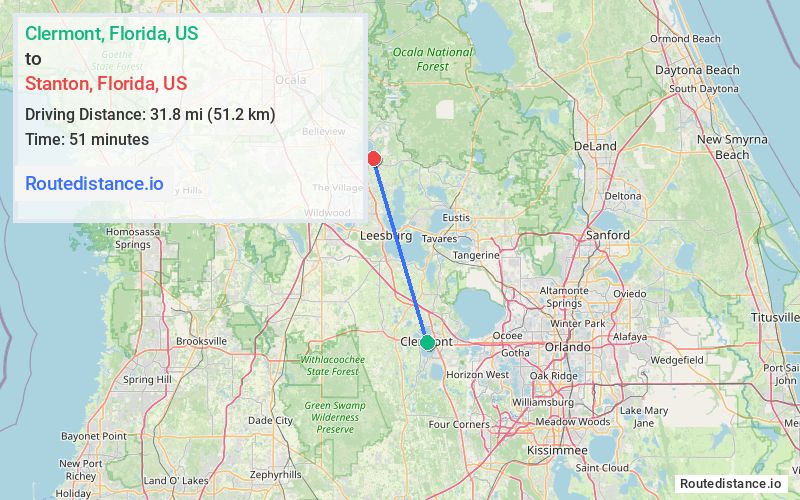
Route Map Image