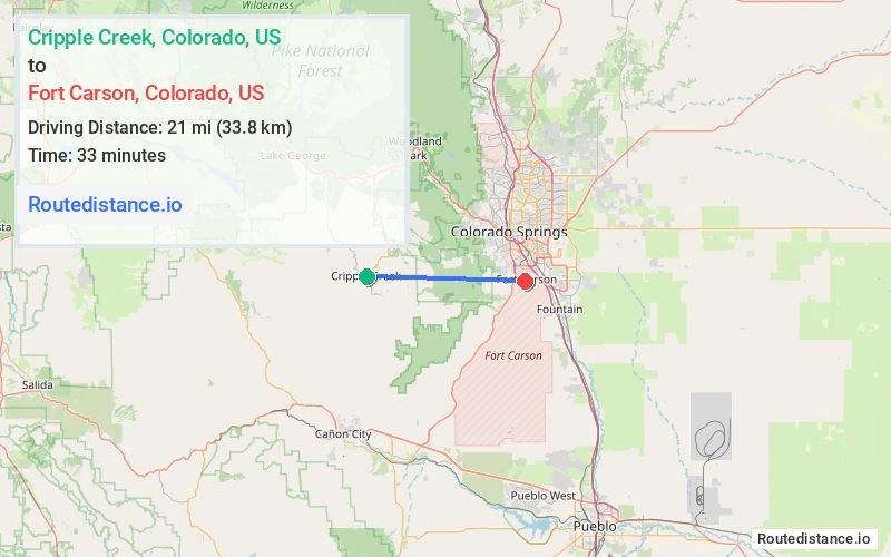
Distance from Cripple Creek, Colorado to Fort Carson, Colorado
The driving distance from Cripple Creek, Colorado to Fort Carson, Colorado is 53 mi (85.3 km)
The straight-line (air) distance is approximately 13 mi (21 km)
Estimated travel time by road is 1 hour 11 minutes
This route includes Toll roads along the way.
Route Directions
Follow CO-67 N to US-24 E/W Hwy 24
Follow US-24 E/W Hwy 24 and I-25 S to Magrath Ave in Stratmoor. Take the exit toward B Street from S Academy Blvd
Take Barkeley Ave to Prussman Blvd in Fort Carson
Journey Details
Traveling from Cripple Creek, Colorado to Fort Carson, Colorado covers 53 miles (85 km) in a east direction. This mixed highways and local roads, moderate route typically takes 1 hour 11 minutes under normal conditions.
The route features toll sections. During evening weekend travel, expect typical weekend traffic patterns with average speeds around 42 mph (68 km/h) .
Journey Waypoints
Cripple Creek
Starting Point
Fort Carson
Destination
Route Map Image