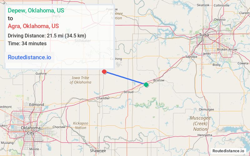
Distance from Depew, Oklahoma to Agra, Oklahoma
The driving distance from Depew, Oklahoma to Agra, Oklahoma is 37.3 mi (60.1 km)
The straight-line (air) distance is approximately 13.3 mi (21.5 km)
Estimated travel time by road is 40 minutes
This route includes Toll roads along the way.
We found 3 routes between Depew and Agra.
Available Routes
Route Directions
Follow OK-66 W/U.S. Bicycle Rte 66/U.S. Rte 66 to N 8th Ave in Stroud
Follow I-44 and OK-18 N to Roosevelt St in Agra
Continue on Roosevelt St to your destination
Route Directions
Follow Main St and Ladd Ave to OK-66 W/U.S. Bicycle Rte 66/U.S. Rte 66
Follow OK-66 W/U.S. Bicycle Rte 66/U.S. Rte 66 and OK-18 to Roosevelt St in Agra
Continue on Roosevelt St to your destination
Route Directions
Follow Main St and Ladd Ave to OK-66 W
Take E 860 Rd/Salt Creek Rd to OK-99 N
Continue on Roosevelt St to your destination
Journey Details
Traveling from Depew, Oklahoma to Agra, Oklahoma covers 31.4 miles (51 km) in a west direction. This mixed highways and local roads, moderate route typically takes 41 minutes under normal conditions.
Drivers have 3 route options between these locations (31-37 miles / 51-60 km). The primary route shown here saves 3 minutes compared to alternatives.
Journey Waypoints
Depew
Starting Point
Agra
Destination
Route Map Image