Distance to Avery, Oklahoma

Calculating Your Route
Just a moment while we process your request...
Location Information
-
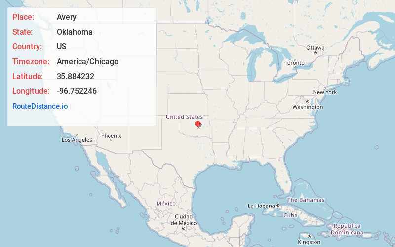
Full AddressAvery, OK 74023
-
Coordinates35.8842321, -96.7522458
-
LocationAvery , Oklahoma , US
-
TimezoneAmerica/Chicago
-
Current Local Time1:49:21 AM America/ChicagoFriday, June 20, 2025
-
Page Views0
About Avery
Avery is a ghost town in Lincoln County, Oklahoma, United States. The community had a post office from September 16, 1902, until August 26, 1957. Founded as Mound City, it was renamed for Eastern Oklahoma Railway worker Avery Turner after the railroad built through the community.


Nearby Places
Found 10 places within 50 miles

Wildhorse
3.5 mi
5.6 km
Wildhorse, OK 74023
Get directions
Parkland
5.9 mi
9.5 km
Parkland, OK 74824
Get directions

Agra
6.8 mi
10.9 km
Agra, OK 74824
Get directions

Kendrick
6.9 mi
11.1 km
Kendrick, OK 74079
Get directions

Cushing
7.0 mi
11.3 km
Cushing, OK 74023
Get directions
North Village
9.0 mi
14.5 km
North Village, OK 74023
Get directions
Schlegel
9.5 mi
15.3 km
Schlegel, OK 74023
Get directions

Shamrock
9.6 mi
15.4 km
Shamrock, OK
Get directions
Amabel
10.0 mi
16.1 km
Amabel, OK 74023
Get directions

Stroud
10.8 mi
17.4 km
Stroud, OK
Get directions
Location Links
Local Weather
Weather Information
Coming soon!
Location Map
Static map view of Avery, Oklahoma
Browse Places by Distance
Places within specific distances from Avery
Short Distances
Long Distances
Click any distance to see all places within that range from Avery. Distances shown in miles (1 mile ≈ 1.61 kilometers).