Distance to Shamrock, Oklahoma

Calculating Your Route
Just a moment while we process your request...
Location Information
-
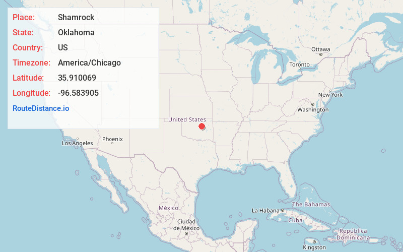
Full AddressShamrock, OK
-
Coordinates35.910069, -96.583905
-
LocationShamrock , Oklahoma , US
-
TimezoneAmerica/Chicago
-
Current Local Time12:14:55 AM America/ChicagoFriday, June 20, 2025
-
Page Views0
About Shamrock
Shamrock is an unincorporated town in Creek County, Oklahoma, United States, located on Oklahoma State Highway 16 south of Drumright and west-northwest of Bristow. The population was 65 at the time of the 2020 census. It was named for Shamrock, Illinois, the hometown of local store owner, James M. Thomas.


Nearby Places
Found 10 places within 50 miles

Drumright
5.5 mi
8.9 km
Drumright, OK 74030
Get directions

Depew
8.6 mi
13.8 km
Depew, OK
Get directions

Olive
10.0 mi
16.1 km
Olive, OK 74030
Get directions

Milfay
10.8 mi
17.4 km
Milfay, OK
Get directions

Cushing
11.5 mi
18.5 km
Cushing, OK 74023
Get directions

Stroud
11.9 mi
19.2 km
Stroud, OK
Get directions

Oilton
12.1 mi
19.5 km
Oilton, OK
Get directions

Bristow
12.1 mi
19.5 km
Bristow, OK 74010
Get directions

Kendrick
13.7 mi
22.0 km
Kendrick, OK 74079
Get directions

Lawrence Creek
15.0 mi
24.1 km
Lawrence Creek, OK 74044
Get directions
Location Links
Local Weather
Weather Information
Coming soon!
Location Map
Static map view of Shamrock, Oklahoma
Browse Places by Distance
Places within specific distances from Shamrock
Short Distances
Long Distances
Click any distance to see all places within that range from Shamrock. Distances shown in miles (1 mile ≈ 1.61 kilometers).