Distance to Oilton, Oklahoma

Calculating Your Route
Just a moment while we process your request...
Location Information
-
Full AddressOilton, OK
-
Coordinates36.0845119, -96.5836317
-
LocationOilton , Oklahoma , US
-
TimezoneAmerica/Chicago
-
Current Local Time1:34:02 AM America/ChicagoThursday, June 19, 2025
-
Page Views0
About Oilton
Oilton is a city in Creek County, Oklahoma, United States. The population was 885 at the 2020 census, a 12.6% decline from the 1,013 recorded in 2010.


Nearby Places
Found 10 places within 50 miles

Drumright
6.7 mi
10.8 km
Drumright, OK 74030
Get directions

Yale
6.8 mi
10.9 km
Yale, OK 74085
Get directions

Cushing
12.3 mi
19.8 km
Cushing, OK 74023
Get directions

Mannford
13.2 mi
21.2 km
Mannford, OK
Get directions

Cleveland
16.9 mi
27.2 km
Cleveland, OK 74020
Get directions

Bristow
20.6 mi
33.2 km
Bristow, OK 74010
Get directions

Pawnee
21.4 mi
34.4 km
Pawnee, OK 74058
Get directions

Kellyville
22.9 mi
36.9 km
Kellyville, OK
Get directions

Stroud
23.6 mi
38.0 km
Stroud, OK
Get directions

Hominy
25.1 mi
40.4 km
Hominy, OK 74035
Get directions
Location Links
Local Weather
Weather Information
Coming soon!
Location Map
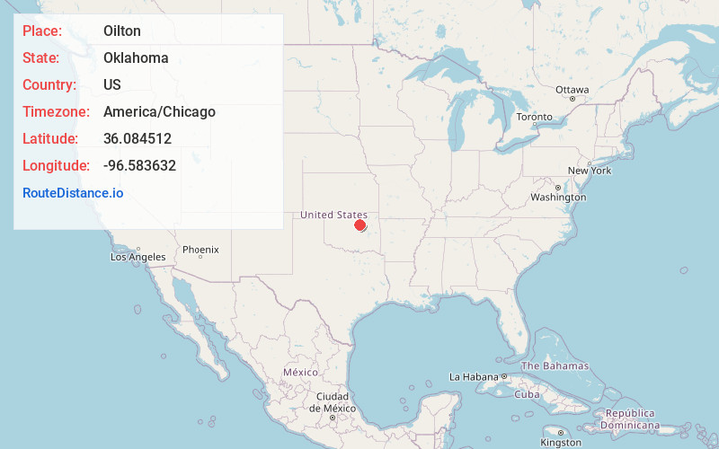
Static map view of Oilton, Oklahoma
Browse Places by Distance
Places within specific distances from Oilton
Short Distances
Long Distances
Click any distance to see all places within that range from Oilton. Distances shown in miles (1 mile ≈ 1.61 kilometers).