Distance to Pawnee, Oklahoma

Calculating Your Route
Just a moment while we process your request...
Location Information
-
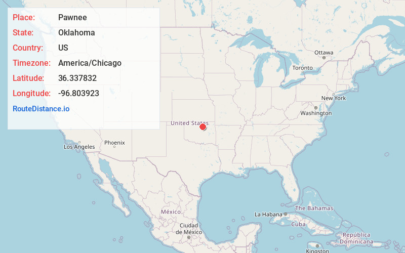
Full AddressPawnee, OK 74058
-
Coordinates36.3378321, -96.8039232
-
LocationPawnee , Oklahoma , US
-
TimezoneAmerica/Chicago
-
Current Local Time1:26:31 AM America/ChicagoThursday, June 19, 2025
-
Page Views0
About Pawnee
Pawnee is a city and county seat of Pawnee County, Oklahoma, United States. The town is northeast of Stillwater at the junction of U.S. Route 64 and State Highway 18.
It was named for the Pawnee tribe, which was relocated to this area between 1873 and 1875. The population was 1,936 as of the 2020 Census.


Nearby Places
Found 10 places within 50 miles

Cleveland
19.0 mi
30.6 km
Cleveland, OK 74020
Get directions

Stillwater
20.9 mi
33.6 km
Stillwater, OK
Get directions

Hominy
23.3 mi
37.5 km
Hominy, OK 74035
Get directions

Cushing
24.5 mi
39.4 km
Cushing, OK 74023
Get directions

Drumright
26.7 mi
43.0 km
Drumright, OK 74030
Get directions

Perry
27.2 mi
43.8 km
Perry, OK 73077
Get directions

Perkins
28.2 mi
45.4 km
Perkins, OK 74059
Get directions

Mannford
28.8 mi
46.3 km
Mannford, OK
Get directions

Ponca City
29.9 mi
48.1 km
Ponca City, OK
Get directions

Pawhuska
34.2 mi
55.0 km
Pawhuska, OK 74056
Get directions
Location Links
Local Weather
Weather Information
Coming soon!
Location Map
Static map view of Pawnee, Oklahoma
Browse Places by Distance
Places within specific distances from Pawnee
Short Distances
Long Distances
Click any distance to see all places within that range from Pawnee. Distances shown in miles (1 mile ≈ 1.61 kilometers).