Distance to Perkins, Oklahoma

Calculating Your Route
Just a moment while we process your request...
Location Information
-
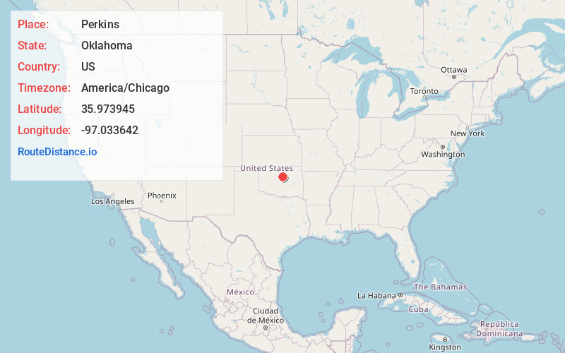
Full AddressPerkins, OK 74059
-
Coordinates35.9739448, -97.0336417
-
LocationPerkins , Oklahoma , US
-
TimezoneAmerica/Chicago
-
Current Local Time8:05:17 AM America/ChicagoThursday, June 5, 2025
-
Page Views0
About Perkins
Perkins is a city in southern Payne County, Oklahoma, United States. The population was 2,831 at the 2010 census, an increase of 24.6 percent from the figure of 2,272 in 2000. The name is derived from Walden Perkins, a congressman who helped establish the local post office.


Nearby Places
Found 10 places within 50 miles

Stillwater
9.9 mi
15.9 km
Stillwater, OK
Get directions

Cushing
14.9 mi
24.0 km
Cushing, OK 74023
Get directions

Guthrie
22.9 mi
36.9 km
Guthrie, OK
Get directions

Perry
26.0 mi
41.8 km
Perry, OK 73077
Get directions

Edmond
33.4 mi
53.8 km
Edmond, OK
Get directions

Harrah
34.3 mi
55.2 km
Harrah, OK
Get directions

Choctaw
35.5 mi
57.1 km
Choctaw, OK 73020
Get directions

Spencer
37.1 mi
59.7 km
Spencer, OK
Get directions

Bristow
37.3 mi
60.0 km
Bristow, OK 74010
Get directions

McLoud
37.3 mi
60.0 km
McLoud, OK
Get directions
Location Links
Local Weather
Weather Information
Coming soon!
Location Map
Static map view of Perkins, Oklahoma
Browse Places by Distance
Places within specific distances from Perkins
Short Distances
Long Distances
Click any distance to see all places within that range from Perkins. Distances shown in miles (1 mile ≈ 1.61 kilometers).