Distance to McLoud, Oklahoma

Calculating Your Route
Just a moment while we process your request...
Location Information
-
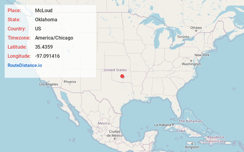
Full AddressMcLoud, OK
-
Coordinates35.4358996, -97.0914163
-
LocationMcLoud , Oklahoma , US
-
TimezoneAmerica/Chicago
-
Current Local Time5:02:49 PM America/ChicagoThursday, June 19, 2025
-
Page Views0
About McLoud
McLoud is a city in northwestern Pottawatomie County, Oklahoma, United States, and is part of the Oklahoma City Consolidated Metropolitan Area. The population was 4,044 at the 2010 census, a 14.0 percent increase from the figure of 3,548 in 2000.


Nearby Places
Found 10 places within 50 miles

Harrah
5.5 mi
8.9 km
Harrah, OK
Get directions

Choctaw
10.9 mi
17.5 km
Choctaw, OK 73020
Get directions

Shawnee
12.0 mi
19.3 km
Shawnee, OK
Get directions

Tecumseh
15.1 mi
24.3 km
Tecumseh, OK
Get directions

Midwest City
17.2 mi
27.7 km
Midwest City, OK
Get directions

Del City
19.7 mi
31.7 km
Del City, OK
Get directions

Moore
23.2 mi
37.3 km
Moore, OK
Get directions

Oklahoma City
24.2 mi
38.9 km
Oklahoma City, OK
Get directions

Norman
24.8 mi
39.9 km
Norman, OK
Get directions

Edmond
26.4 mi
42.5 km
Edmond, OK
Get directions
Location Links
Local Weather
Weather Information
Coming soon!
Location Map
Static map view of McLoud, Oklahoma
Browse Places by Distance
Places within specific distances from McLoud
Short Distances
Long Distances
Click any distance to see all places within that range from McLoud. Distances shown in miles (1 mile ≈ 1.61 kilometers).