Distance to Pawhuska, Oklahoma

Calculating Your Route
Just a moment while we process your request...
Location Information
-
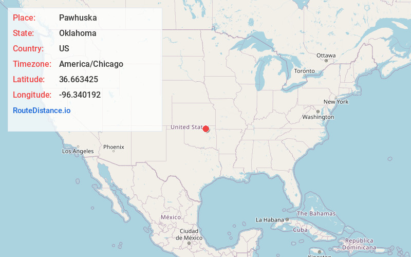
Full AddressPawhuska, OK 74056
-
Coordinates36.6634251, -96.3401917
-
LocationPawhuska , Oklahoma , US
-
TimezoneAmerica/Chicago
-
Current Local Time12:47:25 PM America/ChicagoTuesday, July 1, 2025
-
Page Views0
About Pawhuska
Pawhuska is a city in northern Oklahoma known for its Native American culture. Photos, tribal objects and artwork at the Osage Nation Museum trace the history of the area’s Osage people. Built in 1926, the wood-planked Swinging Bridge hangs over Bird Creek. A trail connects fish-filled Bluestem Lake to scenic Bluestem Falls. To the north, the vast Tallgrass Prairie Preserve is home to bison, deer and coyotes.


Nearby Places
Found 10 places within 50 miles

Hominy
17.5 mi
28.2 km
Hominy, OK 74035
Get directions

Bartlesville
20.9 mi
33.6 km
Bartlesville, OK
Get directions

Dewey
24.2 mi
38.9 km
Dewey, OK
Get directions

Cleveland
25.4 mi
40.9 km
Cleveland, OK 74020
Get directions

Skiatook
27.7 mi
44.6 km
Skiatook, OK
Get directions

Collinsville
34.7 mi
55.8 km
Collinsville, OK 74021
Get directions

Mannford
36.6 mi
58.9 km
Mannford, OK
Get directions

Owasso
38.3 mi
61.6 km
Owasso, OK
Get directions

Sand Springs
38.4 mi
61.8 km
Sand Springs, OK
Get directions

Nowata
39.0 mi
62.8 km
Nowata, OK 74048
Get directions
Location Links
Local Weather
Weather Information
Coming soon!
Location Map
Static map view of Pawhuska, Oklahoma
Browse Places by Distance
Places within specific distances from Pawhuska
Short Distances
Long Distances
Click any distance to see all places within that range from Pawhuska. Distances shown in miles (1 mile ≈ 1.61 kilometers).