Distance to Sand Springs, Oklahoma

Calculating Your Route
Just a moment while we process your request...
Location Information
-
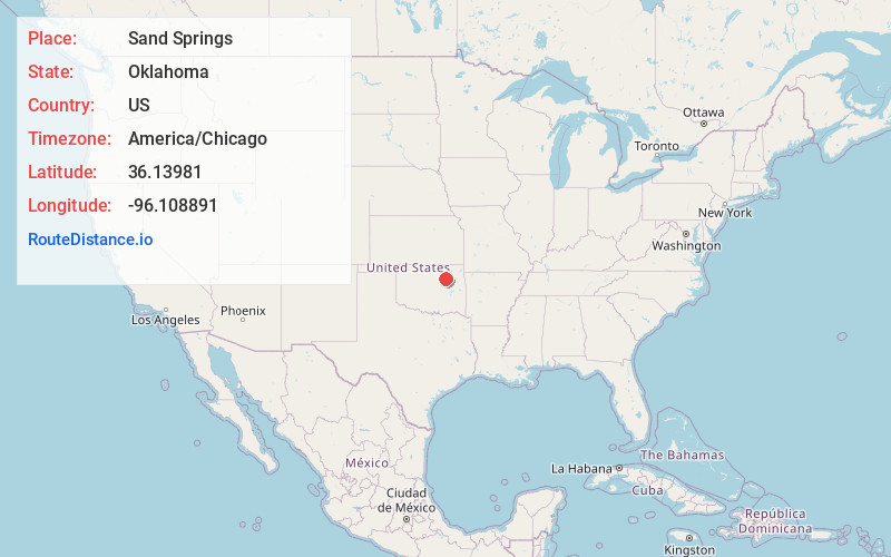
Full AddressSand Springs, OK
-
Coordinates36.1398102, -96.108891
-
LocationSand Springs , Oklahoma , US
-
TimezoneAmerica/Chicago
-
Current Local Time8:11:06 PM America/ChicagoFriday, June 13, 2025
-
Website
-
Page Views0
About Sand Springs
Sand Springs is a city in Osage, Creek and Tulsa counties in the U.S. state of Oklahoma. A western suburb of Tulsa, it is located predominantly in Tulsa County. The population was 19,874 in the 2020 U. S. Census, an increase of 5.1 percent from the figure of 18,906 recorded in 2010.


Nearby Places
Found 8 places within 50 miles

Tulsa
6.7 mi
10.8 km
Tulsa, OK
Get directions

Sapulpa
9.8 mi
15.8 km
Sapulpa, OK
Get directions

Jenks
11.3 mi
18.2 km
Jenks, OK
Get directions

Owasso
16.8 mi
27.0 km
Owasso, OK
Get directions

Broken Arrow
18.2 mi
29.3 km
Broken Arrow, OK
Get directions

Bixby
18.6 mi
29.9 km
Bixby, OK
Get directions

Bartlesville
42.6 mi
68.6 km
Bartlesville, OK
Get directions

Muskogee
49.4 mi
79.5 km
Muskogee, OK
Get directions
Location Links
Local Weather
Weather Information
Coming soon!
Location Map
Static map view of Sand Springs, Oklahoma
Browse Places by Distance
Places within specific distances from Sand Springs
Short Distances
Long Distances
Click any distance to see all places within that range from Sand Springs. Distances shown in miles (1 mile ≈ 1.61 kilometers).