Distance to Olive, Oklahoma

Calculating Your Route
Just a moment while we process your request...
Location Information
-
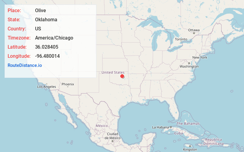
Full AddressOlive, OK 74030
-
Coordinates36.0284045, -96.4800142
-
LocationOlive , Oklahoma , US
-
TimezoneAmerica/Chicago
-
Current Local Time2:08:11 PM America/ChicagoThursday, June 5, 2025
-
Page Views0
About Olive
Olive is an unincorporated community in Creek County, Oklahoma, United States. The post office was established November 20, 1896, and discontinued September 30, 1938. The town was named for the daughter of the first postmaster. In 1974 there was a tornado that wiped out the town.


Nearby Places
Found 10 places within 50 miles

Lawrence Creek
5.0 mi
8.0 km
Lawrence Creek, OK 74044
Get directions

Oilton
7.0 mi
11.3 km
Oilton, OK
Get directions

Drumright
7.3 mi
11.7 km
Drumright, OK 74030
Get directions

Mannford
10.1 mi
16.3 km
Mannford, OK
Get directions

Jennings
11.7 mi
18.8 km
Jennings, OK 74038
Get directions

Yale
13.6 mi
21.9 km
Yale, OK 74085
Get directions

Bristow
14.5 mi
23.3 km
Bristow, OK 74010
Get directions

Depew
15.7 mi
25.3 km
Depew, OK
Get directions

Westport
15.8 mi
25.4 km
Westport, OK
Get directions

Kellyville
16.0 mi
25.7 km
Kellyville, OK
Get directions
Location Links
Local Weather
Weather Information
Coming soon!
Location Map
Static map view of Olive, Oklahoma
Browse Places by Distance
Places within specific distances from Olive
Short Distances
Long Distances
Click any distance to see all places within that range from Olive. Distances shown in miles (1 mile ≈ 1.61 kilometers).