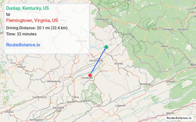
Distance from Dunlap, Kentucky to Flemingtown, Virginia
The driving distance from Dunlap, Kentucky to Flemingtown, Virginia is 47.8 mi (77 km)
The straight-line (air) distance is approximately 12.5 mi (20.2 km)
Estimated travel time by road is 1 hour 21 minutes
We found 3 routes between Dunlap and Flemingtown.
Available Routes
Route Directions
Take State Hwy 1499 to US-460 E in Mouthcard
Continue on Bull Creek Rd. Take VA-80, VA-63 N/Big Ridge Rd and The Lake Rd to State Hwy 607/State Rte 607 in Dickenson County
Route Directions
Take State Hwy 1499 to US-460 E in Mouthcard
Continue on VA-604. Take VA-83 W, VA-63 N/Big Ridge Rd and The Lake Rd to State Hwy 607/State Rte 607 in Dickenson County
Route Directions
Take State Hwy 1499 to US-460 W in Mouthcard
Take US-460 E, Breaks Park Rd, VA-63 N/Big Ridge Rd and The Lake Rd to State Hwy 607/State Rte 607 in Dickenson County
Journey Details
Traveling from Dunlap, Kentucky to Flemingtown, Virginia covers 45 miles (72 km) in a southwest direction. This secondary roads, moderate route typically takes 1 hour 11 minutes under normal conditions.
Drivers have 3 route options between these locations (45-48 miles / 72-77 km). The primary route shown here saves 12 minutes compared to alternatives.
The route features scenic views. During midday weekday travel, expect lighter midday traffic with average speeds around 36 mph (58 km/h) .
Journey Waypoints
Dunlap
Starting Point
Flemingtown
Destination
Route Map Image