Distance to Flemingtown, Virginia

Calculating Your Route
Just a moment while we process your request...
Location Information
-
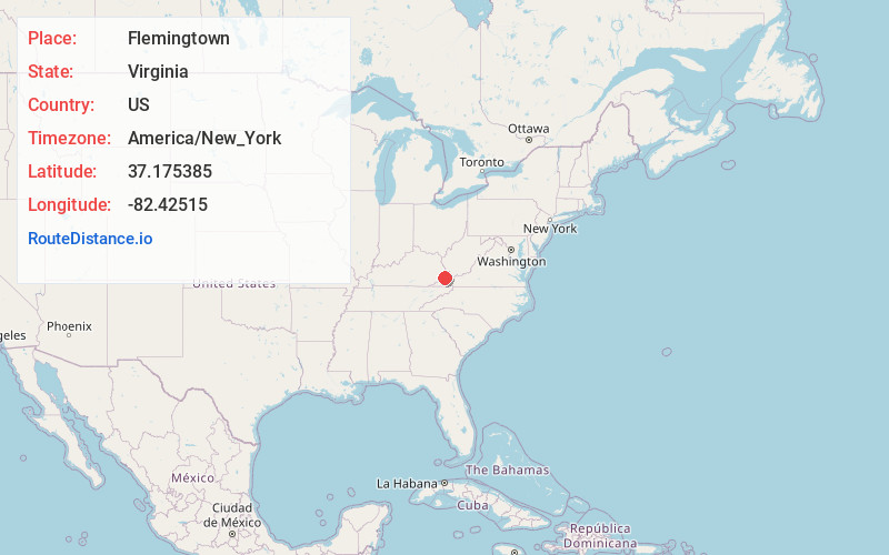
Full AddressFlemingtown, VA 24228
-
Coordinates37.1753853, -82.4251498
-
LocationVirginia , US
-
TimezoneAmerica/New_York
-
Current Local Time9:48:37 PM America/New_YorkFriday, May 30, 2025
-
Page Views0
Nearby Places
Found 10 places within 50 miles

Dwale
1.5 mi
2.4 km
Dwale, VA 24228
Get directions

Clintwood
2.4 mi
3.9 km
Clintwood, VA 24228
Get directions
Ramsey Flats
2.5 mi
4.0 km
Ramsey Flats, VA 24228
Get directions
Clinchco
3.7 mi
6.0 km
Clinchco, VA
Get directions

Haysi
7.5 mi
12.1 km
Haysi, VA
Get directions

Elkhorn City
9.8 mi
15.8 km
Elkhorn City, KY
Get directions

Pound
10.3 mi
16.6 km
Pound, VA 24279
Get directions

Jenkins
11.3 mi
18.2 km
Jenkins, KY
Get directions

Breaks
11.5 mi
18.5 km
Breaks, VA
Get directions
Trammel
13.3 mi
21.4 km
Trammel, VA 24237
Get directions
Location Links
Local Weather
Weather Information
Coming soon!
Location Map
Static map view of Flemingtown, Virginia
Browse Places by Distance
Places within specific distances from Flemingtown
Short Distances
Long Distances
Click any distance to see all places within that range from Flemingtown. Distances shown in miles (1 mile ≈ 1.61 kilometers).