Distance to Trammel, Virginia

Calculating Your Route
Just a moment while we process your request...
Location Information
-
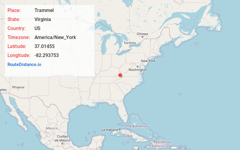
Full AddressTrammel, VA 24237
-
Coordinates37.0145499, -82.2937534
-
LocationTrammel , Virginia , US
-
TimezoneAmerica/New_York
-
Current Local Time12:59:16 PM America/New_YorkWednesday, June 18, 2025
-
Page Views0
About Trammel
Trammel is an unincorporated community in Dickenson County, Virginia, United States. Trammel is located along Virginia State Route 63, 7.6 miles north of St. Paul. Trammel had a post office with ZIP code 24289 from October 8, 1919, to November 16, 2002; the community is now part of ZIP code 24237.
Nearby Places
Found 10 places within 50 miles

Dante
2.5 mi
4.0 km
Dante, VA
Get directions

St Paul
7.5 mi
12.1 km
St Paul, VA
Get directions

Castlewood
8.6 mi
13.8 km
Castlewood, VA 24224
Get directions

Cleveland
9.2 mi
14.8 km
Cleveland, VA 24225
Get directions

Coeburn
10.6 mi
17.1 km
Coeburn, VA 24230
Get directions
Clinchco
10.8 mi
17.4 km
Clinchco, VA
Get directions

Clintwood
13.0 mi
20.9 km
Clintwood, VA 24228
Get directions

Haysi
13.2 mi
21.2 km
Haysi, VA
Get directions

Lebanon
14.2 mi
22.9 km
Lebanon, VA 24266
Get directions

Wise
15.8 mi
25.4 km
Wise, VA 24293
Get directions
Location Links
Local Weather
Weather Information
Coming soon!
Location Map
Static map view of Trammel, Virginia
Browse Places by Distance
Places within specific distances from Trammel
Short Distances
Long Distances
Click any distance to see all places within that range from Trammel. Distances shown in miles (1 mile ≈ 1.61 kilometers).