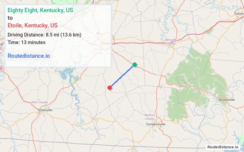
Distance from Eighty Eight, Kentucky to Etoile, Kentucky
The driving distance from Eighty Eight, Kentucky to Etoile, Kentucky is 14 mi (22.5 km)
The straight-line (air) distance is approximately 5.3 mi (8.5 km)
Estimated travel time by road is 22 minutes
We found 3 routes between Eighty Eight and Etoile.
Available Routes
Route Directions
Continue on State Hwy 839 to State Hwy 1324
Continue on State Hwy 1324 to Happy Hollow Rd
Follow Happy Hollow Rd to Mt Pleasant Rd in Etoile
Route Directions
Follow Poplar Spring Rd and Bulldog Rd to State Hwy 1324
Follow State Hwy 63 and State Hwy 820 to Mt Pleasant Rd in Etoile
Route Directions
Follow Poplar Spring Rd and Bulldog Rd to State Hwy 1324
Take State Hwy 63 to Happy Hollow Rd
Follow Happy Hollow Rd to Mt Pleasant Rd in Etoile
Journey Details
Traveling from Eighty Eight, Kentucky to Etoile, Kentucky covers 11.6 miles (19 km) in a southwest direction. This secondary roads, short route typically takes 20 minutes under normal conditions.
Drivers have 3 route options between these locations (12-15 miles / 19-25 km). The primary route shown here saves 3 minutes compared to alternatives.
The route features scenic views. During night weekend travel, expect typical weekend traffic patterns with average speeds around 36 mph (58 km/h) .
Journey Waypoints
Eighty Eight
Starting Point
Etoile
Destination
Route Map Image