Distance to Eighty Eight, Kentucky

Calculating Your Route
Just a moment while we process your request...
Location Information
-
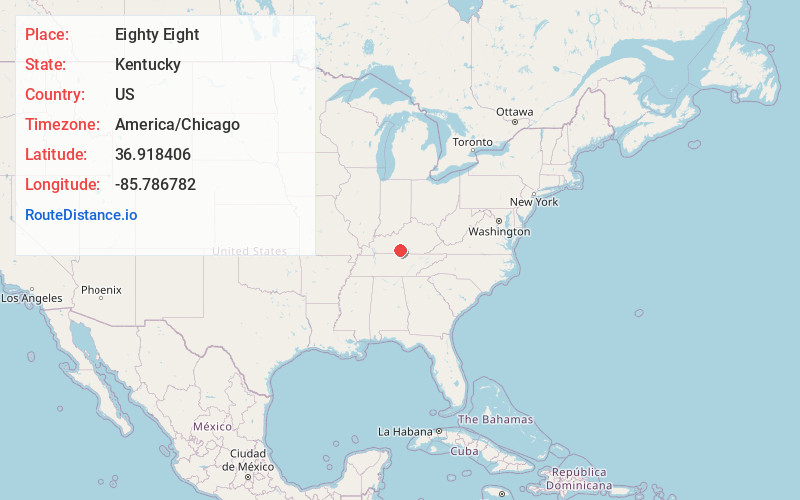
Full AddressEighty Eight, KY 42130
-
Coordinates36.9184059, -85.7867815
-
LocationEighty Eight , Kentucky , US
-
TimezoneAmerica/Chicago
-
Current Local Time5:39:19 PM America/ChicagoFriday, June 20, 2025
-
Page Views0
About Eighty Eight
Eighty Eight is an unincorporated community in Barren County, Kentucky, United States. It is part of the Glasgow Micropolitan Statistical Area and is 10 miles east of Glasgow on State Highway 90. The community held celebrations on August 8, 1988 and August 8, 2008.
Nearby Places
Found 10 places within 50 miles

Kino
2.1 mi
3.4 km
Kino, KY 42141
Get directions

Summer Shade
5.2 mi
8.4 km
Summer Shade, KY 42166
Get directions
Etoile
8.5 mi
13.7 km
Etoile, KY 42131
Get directions

Glasgow
8.8 mi
14.2 km
Glasgow, KY 42141
Get directions

Edmonton
10.5 mi
16.9 km
Edmonton, KY 42129
Get directions

Hiseville
12.7 mi
20.4 km
Hiseville, KY
Get directions

Tompkinsville
15.8 mi
25.4 km
Tompkinsville, KY 42167
Get directions
Fountain Run
16.6 mi
26.7 km
Fountain Run, KY 42133
Get directions
Marrowbone
16.7 mi
26.9 km
Marrowbone, KY 42717
Get directions

Cave City
17.8 mi
28.6 km
Cave City, KY 42127
Get directions
Location Links
Local Weather
Weather Information
Coming soon!
Location Map
Static map view of Eighty Eight, Kentucky
Browse Places by Distance
Places within specific distances from Eighty Eight
Short Distances
Long Distances
Click any distance to see all places within that range from Eighty Eight. Distances shown in miles (1 mile ≈ 1.61 kilometers).