Distance to Marrowbone, Kentucky

Calculating Your Route
Just a moment while we process your request...
Location Information
-
Full AddressMarrowbone, KY 42717
-
Coordinates36.8278373, -85.5066329
-
LocationMarrowbone , Kentucky , US
-
TimezoneAmerica/Chicago
-
Current Local Time9:36:03 PM America/ChicagoWednesday, June 18, 2025
-
Page Views0
About Marrowbone
Marrowbone is a census-designated place in Cumberland County, Kentucky, United States. As of the 2010 census it had a population of 217. It has a post office, with the ZIP code of 42759.
The Marrowbone Historic District, which includes three properties, is listed on the National Register of Historic Places.
Nearby Places
Found 10 places within 50 miles

Burkesville
8.0 mi
12.9 km
Burkesville, KY 42717
Get directions

Summer Shade
11.5 mi
18.5 km
Summer Shade, KY 42166
Get directions

Edmonton
12.0 mi
19.3 km
Edmonton, KY 42129
Get directions

Tompkinsville
13.4 mi
21.6 km
Tompkinsville, KY 42167
Get directions

Celina
19.2 mi
30.9 km
Celina, TN 38551
Get directions

Gamaliel
20.7 mi
33.3 km
Gamaliel, KY 42140
Get directions

Columbia
22.0 mi
35.4 km
Columbia, KY 42728
Get directions

Albany
22.7 mi
36.5 km
Albany, KY 42602
Get directions

Glasgow
25.3 mi
40.7 km
Glasgow, KY 42141
Get directions

Hiseville
25.3 mi
40.7 km
Hiseville, KY
Get directions
Location Links
Local Weather
Weather Information
Coming soon!
Location Map
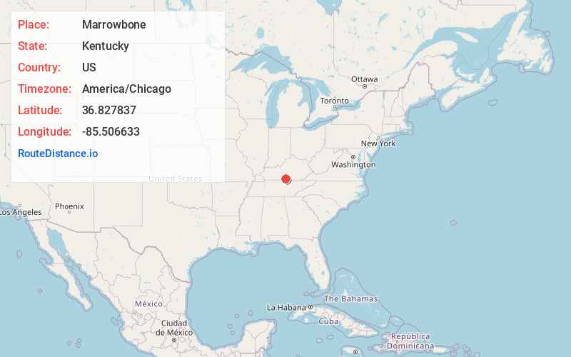
Static map view of Marrowbone, Kentucky
Browse Places by Distance
Places within specific distances from Marrowbone
Short Distances
Long Distances
Click any distance to see all places within that range from Marrowbone. Distances shown in miles (1 mile ≈ 1.61 kilometers).