Distance to Albany, Kentucky

Calculating Your Route
Just a moment while we process your request...
Location Information
-
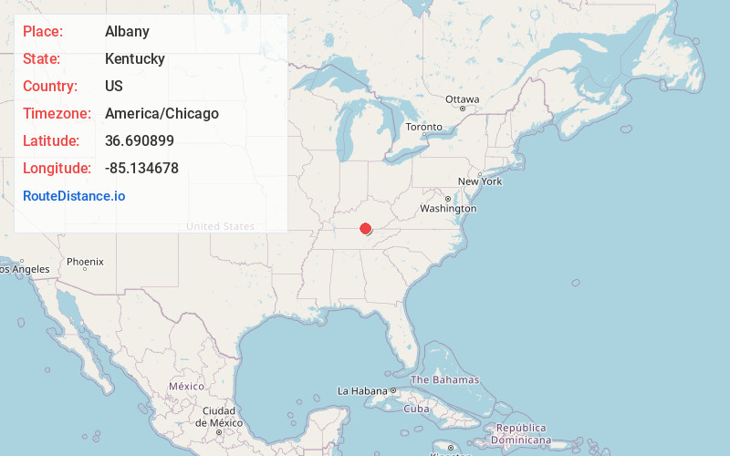
Full AddressAlbany, KY 42602
-
Coordinates36.6908991, -85.1346776
-
LocationAlbany , Kentucky , US
-
TimezoneAmerica/Chicago
-
Current Local Time9:09:17 PM America/ChicagoSaturday, June 28, 2025
-
Page Views0
About Albany
Albany is a home rule-class city in Clinton County, Kentucky, in the United States. The population was 1,760 as of the 2020 census. It is the county seat of Clinton County. It is located on U.S. Route 127, about 6 miles north of the Tennessee border.


Nearby Places
Found 10 places within 50 miles

Monticello
18.5 mi
29.8 km
Monticello, KY 42633
Get directions

Jamestown
20.7 mi
33.3 km
Jamestown, KY
Get directions

Livingston
23.7 mi
38.1 km
Livingston, TN 38570
Get directions

Russell Springs
25.4 mi
40.9 km
Russell Springs, KY 42642
Get directions

Columbia
30.0 mi
48.3 km
Columbia, KY 42728
Get directions

Tompkinsville
30.9 mi
49.7 km
Tompkinsville, KY 42167
Get directions

Oneida
37.0 mi
59.5 km
Oneida, TN 37841
Get directions

Monterey
38.3 mi
61.6 km
Monterey, TN 38574
Get directions
Algood
38.4 mi
61.8 km
Algood, TN 38506
Get directions

Somerset
40.3 mi
64.9 km
Somerset, KY
Get directions
Location Links
Local Weather
Weather Information
Coming soon!
Location Map
Static map view of Albany, Kentucky
Browse Places by Distance
Places within specific distances from Albany
Short Distances
Long Distances
Click any distance to see all places within that range from Albany. Distances shown in miles (1 mile ≈ 1.61 kilometers).