Distance to Jamestown, Kentucky

Calculating Your Route
Just a moment while we process your request...
Location Information
-
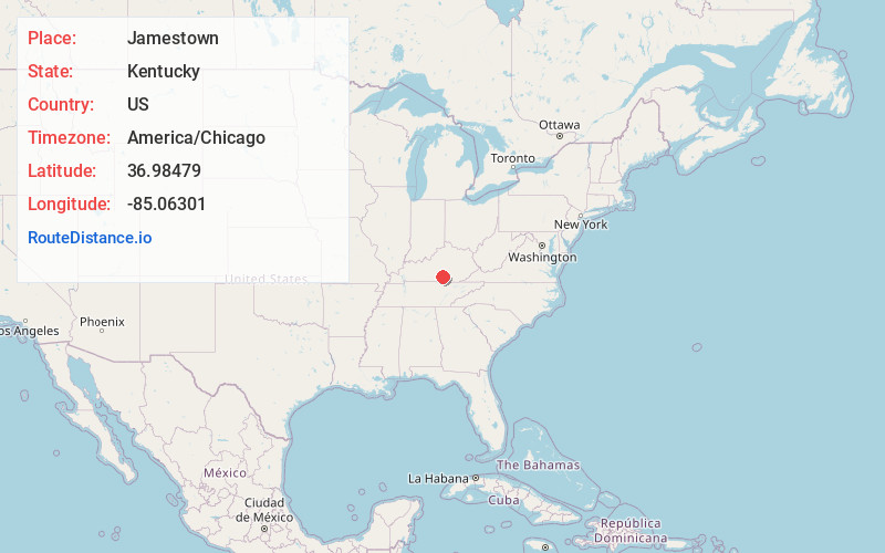
Full AddressJamestown, KY
-
Coordinates36.9847899, -85.06301
-
LocationJamestown , Kentucky , US
-
TimezoneAmerica/Chicago
-
Current Local Time9:01:32 AM America/ChicagoWednesday, June 18, 2025
-
Page Views0
About Jamestown
Jamestown is a home rule-class city in Russell County, Kentucky, in the United States. It is the seat of its county. The population was 1,794 at the 2010 U.S. census.


Nearby Places
Found 10 places within 50 miles

Russell Springs
5.1 mi
8.2 km
Russell Springs, KY 42642
Get directions

Columbia
15.7 mi
25.3 km
Columbia, KY 42728
Get directions

Monticello
15.9 mi
25.6 km
Monticello, KY 42633
Get directions

Somerset
26.4 mi
42.5 km
Somerset, KY
Get directions

Campbellsville
29.2 mi
47.0 km
Campbellsville, KY 42718
Get directions

Tompkinsville
39.9 mi
64.2 km
Tompkinsville, KY 42167
Get directions

Lebanon
41.8 mi
67.3 km
Lebanon, KY 40033
Get directions

Stanford
43.7 mi
70.3 km
Stanford, KY 40484
Get directions

Livingston
44.0 mi
70.8 km
Livingston, TN 38570
Get directions

Oneida
45.4 mi
73.1 km
Oneida, TN 37841
Get directions
Location Links
Local Weather
Weather Information
Coming soon!
Location Map
Static map view of Jamestown, Kentucky
Browse Places by Distance
Places within specific distances from Jamestown
Short Distances
Long Distances
Click any distance to see all places within that range from Jamestown. Distances shown in miles (1 mile ≈ 1.61 kilometers).