Distance to Lebanon, Kentucky

Calculating Your Route
Just a moment while we process your request...
Location Information
-
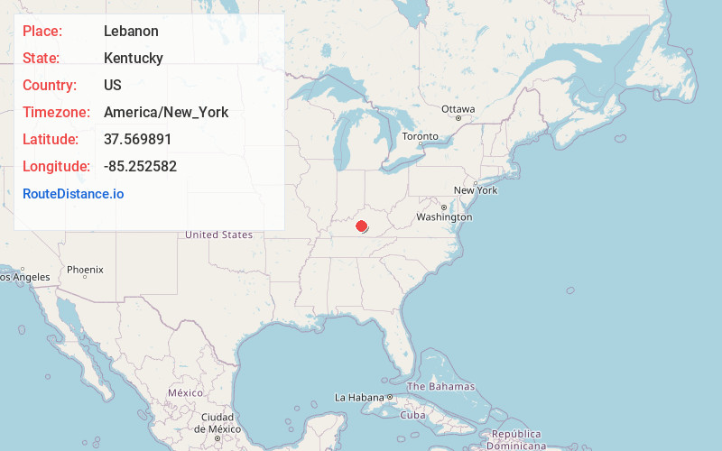
Full AddressLebanon, KY 40033
-
Coordinates37.5698914, -85.2525819
-
LocationLebanon , Kentucky , US
-
TimezoneAmerica/New_York
-
Current Local Time2:28:08 AM America/New_YorkTuesday, June 3, 2025
-
Website
-
Page Views0
About Lebanon
Lebanon is a home rule-class city and the county seat of Marion County, Kentucky, in the United States. The population was 6,274 at the 2020 census, up from 5,539 in 2010. Lebanon is located in central Kentucky, 63 miles southeast of Louisville. A national cemetery is nearby.


Nearby Places
Found 10 places within 50 miles

Campbellsville
16.4 mi
26.4 km
Campbellsville, KY 42718
Get directions

Bardstown
20.3 mi
32.7 km
Bardstown, KY 40004
Get directions

Harrodsburg
26.0 mi
41.8 km
Harrodsburg, KY 40330
Get directions

Danville
26.8 mi
43.1 km
Danville, KY
Get directions

Elizabethtown
35.1 mi
56.5 km
Elizabethtown, KY
Get directions

Mt Washington
36.6 mi
58.9 km
Mt Washington, KY
Get directions

Lawrenceburg
37.7 mi
60.7 km
Lawrenceburg, KY 40342
Get directions

Shepherdsville
38.6 mi
62.1 km
Shepherdsville, KY
Get directions

Hillview
42.2 mi
67.9 km
Hillview, KY
Get directions

Radcliff
42.2 mi
67.9 km
Radcliff, KY
Get directions
Location Links
Local Weather
Weather Information
Coming soon!
Location Map
Static map view of Lebanon, Kentucky
Browse Places by Distance
Places within specific distances from Lebanon
Short Distances
Long Distances
Click any distance to see all places within that range from Lebanon. Distances shown in miles (1 mile ≈ 1.61 kilometers).