Distance to Shepherdsville, Kentucky

Calculating Your Route
Just a moment while we process your request...
Location Information
-
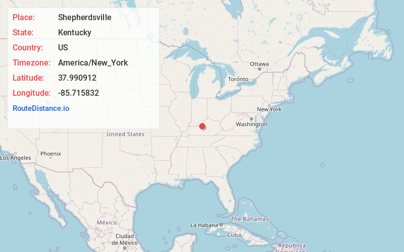
Full AddressShepherdsville, KY
-
Coordinates37.9909115, -85.7158315
-
LocationShepherdsville , Kentucky , US
-
TimezoneAmerica/New_York
-
Current Local Time11:10:38 PM America/New_YorkThursday, June 19, 2025
-
Page Views0
About Shepherdsville
Shepherdsville is a home rule-class city on the Salt River in Bullitt County, Kentucky, in the United States. It is the second largest city and seat of its county, located just south of Louisville. The population was 14,201 during the 2020 U.S. Census.


Nearby Places
Found 10 places within 50 miles

Mt Washington
10.3 mi
16.6 km
Mt Washington, KY
Get directions

Shively
14.8 mi
23.8 km
Shively, KY
Get directions

Jeffersontown
16.3 mi
26.2 km
Jeffersontown, KY
Get directions

Radcliff
16.5 mi
26.6 km
Radcliff, KY
Get directions

Louisville
17.9 mi
28.8 km
Louisville, KY
Get directions

St Matthews
18.0 mi
29.0 km
St Matthews, KY
Get directions

Jeffersonville
19.8 mi
31.9 km
Jeffersonville, IN
Get directions

New Albany
21.2 mi
34.1 km
New Albany, IN 47150
Get directions

Clarksville
21.3 mi
34.3 km
Clarksville, IN
Get directions

Elizabethtown
21.5 mi
34.6 km
Elizabethtown, KY
Get directions
Location Links
Local Weather
Weather Information
Coming soon!
Location Map
Static map view of Shepherdsville, Kentucky
Browse Places by Distance
Places within specific distances from Shepherdsville
Short Distances
Long Distances
Click any distance to see all places within that range from Shepherdsville. Distances shown in miles (1 mile ≈ 1.61 kilometers).