Distance to St Matthews, Kentucky

Calculating Your Route
Just a moment while we process your request...
Location Information
-
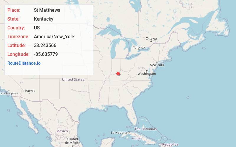
Full AddressSt Matthews, KY
-
Coordinates38.2435659, -85.6357789
-
LocationSt Matthews , Kentucky , US
-
TimezoneAmerica/New_York
-
Current Local Time1:14:18 AM America/New_YorkWednesday, June 25, 2025
-
Page Views0
About St Matthews
St. Matthews is a city in Jefferson County, Kentucky, United States. It forms part of the Louisville Metro government but is separately incorporated as a home rule-class city. The population was 17,472 at the 2010 census, up from 15,852 at the 2000 census. It is the 23rd-largest city in the state.


Nearby Places
Found 9 places within 50 miles

Jeffersontown
5.2 mi
8.4 km
Jeffersontown, KY
Get directions

Jeffersonville
6.0 mi
9.7 km
Jeffersonville, IN
Get directions

Louisville
7.1 mi
11.4 km
Louisville, KY
Get directions

Clarksville
7.7 mi
12.4 km
Clarksville, IN
Get directions

New Albany
10.6 mi
17.1 km
New Albany, IN 47150
Get directions

Mt Washington
14.4 mi
23.2 km
Mt Washington, KY
Get directions

Radcliff
32.8 mi
52.8 km
Radcliff, KY
Get directions

Elizabethtown
39.4 mi
63.4 km
Elizabethtown, KY
Get directions

Frankfort
41.2 mi
66.3 km
Frankfort, KY 40601
Get directions
Location Links
Local Weather
Weather Information
Coming soon!
Location Map
Static map view of St Matthews, Kentucky
Browse Places by Distance
Places within specific distances from St Matthews
Short Distances
Long Distances
Click any distance to see all places within that range from St Matthews. Distances shown in miles (1 mile ≈ 1.61 kilometers).