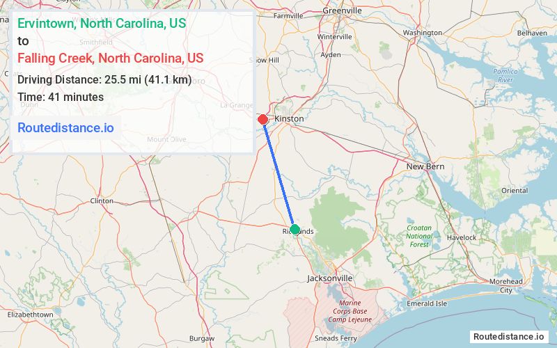
Distance from Ervintown, North Carolina to Falling Creek, North Carolina
The driving distance from Ervintown, North Carolina to Falling Creek, North Carolina is 37.7 mi (60.7 km)
The straight-line (air) distance is approximately 15.9 mi (25.5 km)
Estimated travel time by road is 44 minutes
We found 2 routes between Ervintown and Falling Creek.
Available Routes
Route Directions
Follow US-258 N to Nobles Mill Rd in Lenoir County
Take Davis Mill Rd to NC-11 N
Take Kennedy Home Rd to US-70 E
Drive
Route Directions
Follow US-258 N to Central Ave in Lenoir County
Take Goodman Rd to US-258 N/US-70 W
Follow Banks School Rd to your destination
Journey Details
Traveling from Ervintown, North Carolina to Falling Creek, North Carolina covers 32.5 miles (52 km) in a north direction. This highway, moderate route typically takes 37 minutes under normal conditions.
Drivers have 2 route options between these locations (33-38 miles / 52-61 km). The primary route shown here saves 8 minutes compared to alternatives.
Journey Waypoints
Ervintown
Starting Point
Falling Creek
Destination
Route Map Image